Unfinished Business – Corsica GR20, Southern Section – June 2026
Posted by Mark Richardson on Jul 24, 2026
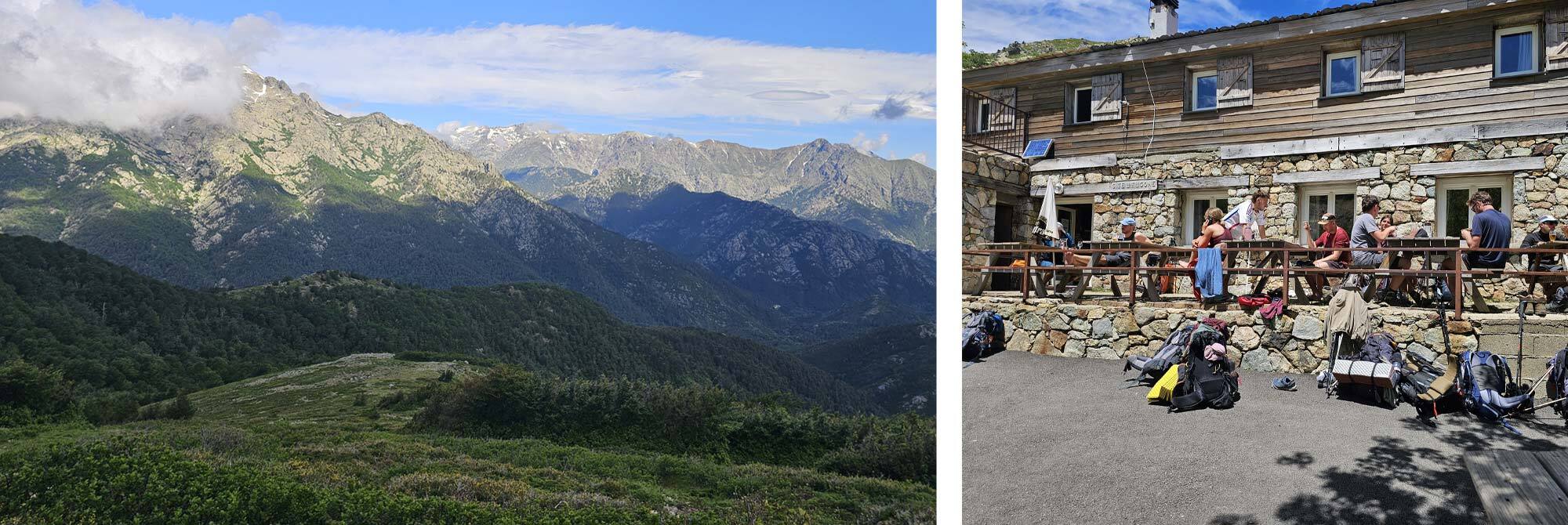
Pictures: Looking back near the Bocca Palmentu (right) and Refuge d’E Capanelle (left).
Day 1 – Vizzavona to (Gite d’Etape U Fugone) Refuge d’E Capanelle
The first day is 9 miles and 5.5hrs and after staying in a hotel in Vizzavona I was able to get a great start, the route is easy to find and well way-marked and it was good to get going. I climbed the first section through the forest before breaking out to a fab view across the wooded valley. The weather was good.
The climb to the saddle, Bocca Palmentu, took around 2.5 hours and I arrived at 10.45, that was the climbing essentially over for the day and I carried on the gently undulating balcony path before a final short ascent to the Gite d’Etape U Fugone. Unless you’re staying at Refuge d’E Capanelle there’s really no point in going there as you would be climbing up to it simply to climb down again.
I arrived at the Gite at 13.15 and announced to the guardian that I wanted to camp for the night – he looked at me as if to say 'Really? You’re stopping this early.'
I guess it’s because the next day section is only 4.5 hours and you could easily roll both days into one, but there’s a high level variant that I was intending to do that extends this time to 7.5 hours so pushing on wasn’t really an option.
I settled in for a long day and booked an evening meal that I reasoned would help me pass the time. It would have been nice to chat to fellow trekkers but unfortunately my table was populated by French people and while my school-boy French is Ok its not up to conversational standard. Still the meal was nice.
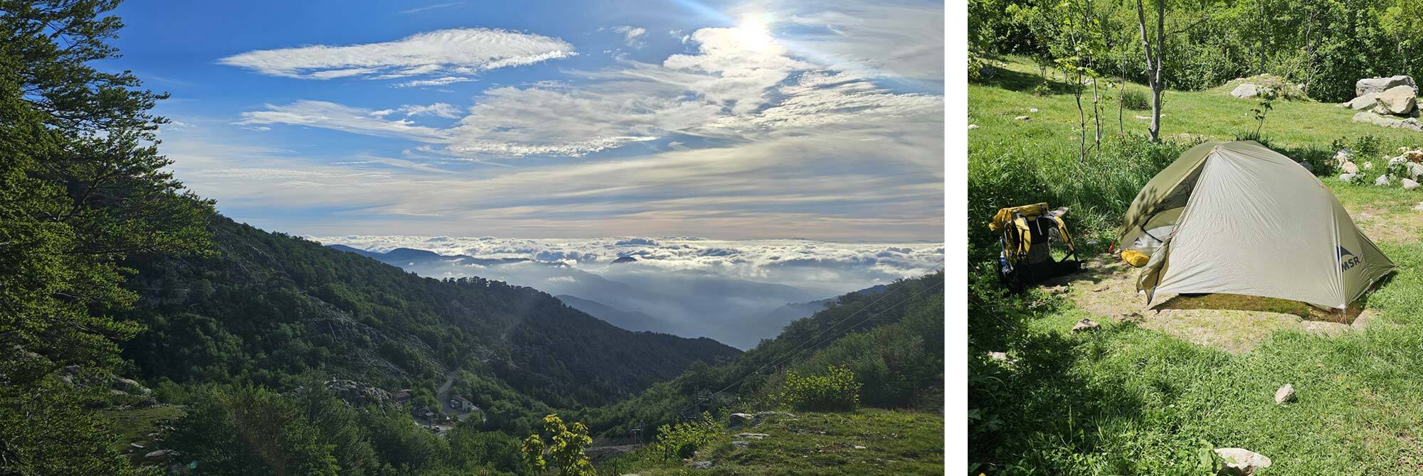
Pictures: Above Gite d'Etape U Fugone and camp.
Day 2 - Gite d’Etape U Fugone to Bocca di Verde
I set off early, around 7am and began the climb to Monte Rinosu, the route is straightforward, there’s an option to pass by the Lac de Bastani, which is well worth it as it only takes a few minutes extra time. After a few hours of climbing the path attains the ridge which you just follow easily to the summit.
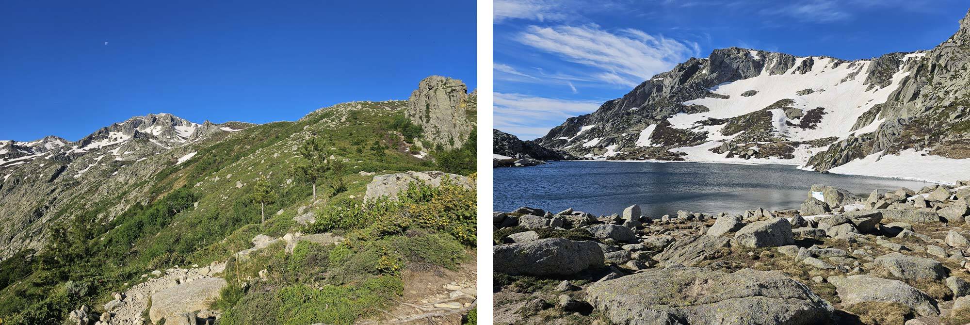
Pictures: Approach to Monte Rinosu and Lac de Bastani.
At height there was a welcome breeze, and I was the only person there to take in the amazing views. Carrying on beyond the summit the route follows the ridge fairly closely and there were a few snow fields to be negotiated, being a broad plateau in many places the snow patches were quite level so presented no problem. There’s a short section which requires some scrambling with a few awkward bits, I managed to scrape my pack while clambering down one of them and punctured my water bottle which was in the side pocket. Luckily it wasn’t my only one, but it was my BeFree, which are awesome for daily use.
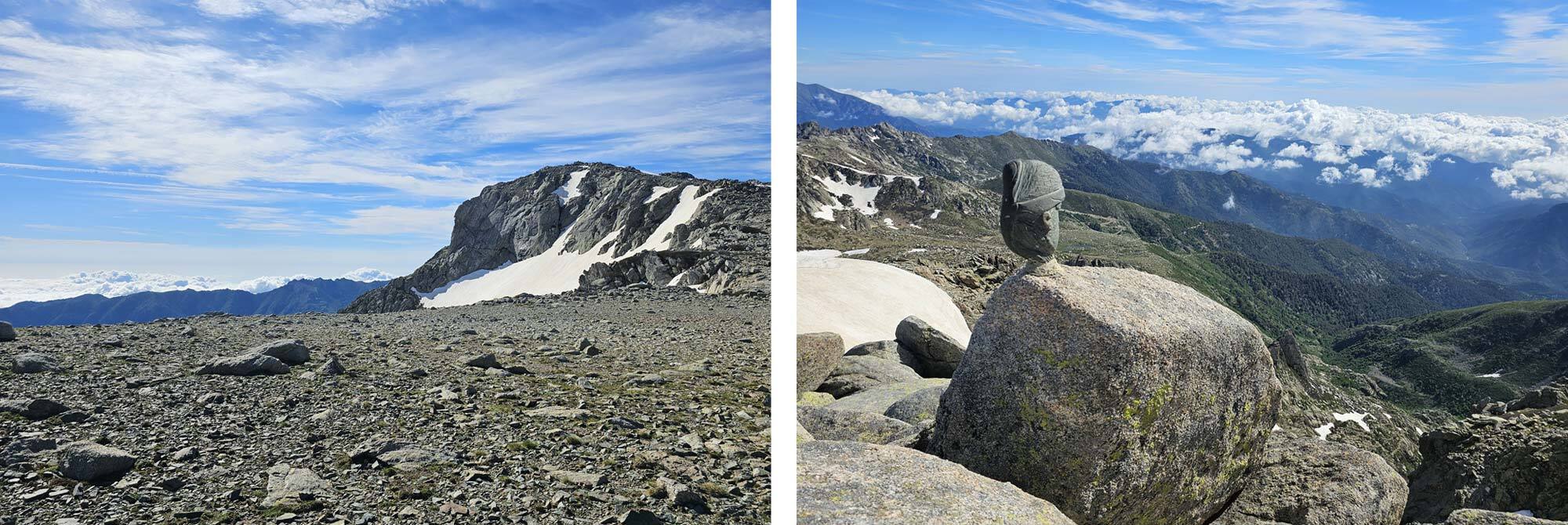
Pictures: Route to the summit of Monte Rinosu (right) and of Summit cairn Monte Rinosu (left).
The ridge walk is fab and I was so glad I chose it over the low level route, eventually though you have to descend into a valley near to a group of buildings which are the Bergeries d’I Pozzi. There now follows a relatively level section which contours left and eventually joins up with the main (low level) route near to a building offering food and drink, the Casetta di Ghjalcone. I walked past this as I hadn’t realised that I was very close to the junction with the main GR20, if I had realised this I would have stopped for a while, by the time I realised I couldn’t be bothered to walk back. There was a hand-written sign advertising ‘soup’, which sounded like the best meal I could ever imagine – I should have stopped!
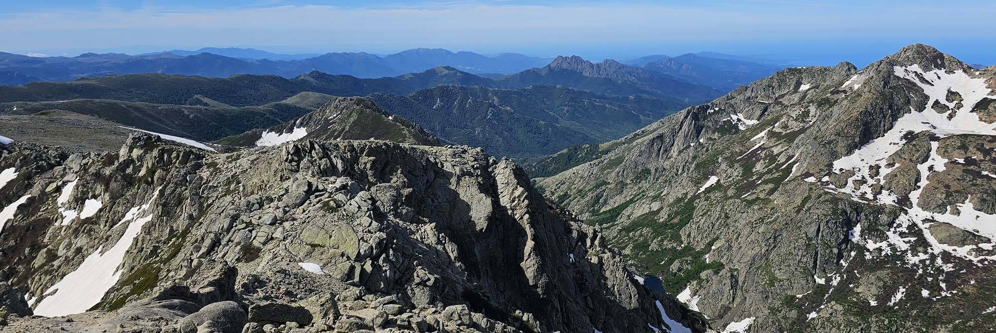
As I joined the main GR20 it was hot, and for the next section there wasn’t much shade, the route crossed a narrow valley so there’s a steep-ish descent followed by a steep-ish ascent, then over the ridgeline on to a track through forest to the Refuge di Verde.
I missed a path junction at one point and lost about 15 minutes following painted markings which weren’t quite GR20 markings but I convinced myself they were. The penny dropped and I retraced my steps to find the correct route.
By the time I got to the Refuge I’d been hiking for over 8 hours, perhaps 45minutes behind the expected time in the guidebook, I arrived at 3.15pm. That’s still relatively early and I was able to secure a good pitch for the tent and didn’t have to queue for the shower. After I was clean I had a large beer in the bar area, not something you can do when wild camping.
Day 3 – Bocca di Verde to Refuge d’Usciolu
Another relatively long day today but no variants, this is the accepted route. Trekkers who did the low level route yesterday can extend their day by another 2 hours and stay at the Refuge de Prati – I would highly recommend this as this balances the days somewhat and the Refuge de Prati has a lovely high level setting that looks like a pleasure to camp at.
Starting at Bocca di Verde means there is a two hour climb to begin the day, this is mainly through woods until a certain altitude is reached where the route makes a rocky ascent to the Bocca d’Oru, just a few minutes level hiking to the refuge.
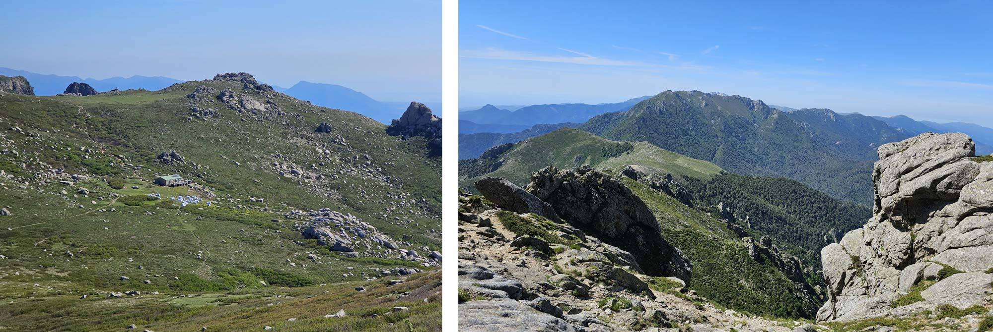
Pictures: Looking back to Refuge de Pratiwell (right) and well on the way to Bocca d'Oru (left).
A short section of relatively easy path gives way to a challenging rocky route that follows the main ridge and involves a few scrambly bits, it sets the tone all the way to Bocca di Laparo, which in my case was very thankfully reached after 6 hours of walking.
Leaving the bocca the route follows a well constructed zig zag path that seemed like it was vertical, though of course it wasn’t, but I was tired and this climb was going to take a couple of hours. The quality of the path was a saving grace and I simply put my head down and plodded up it, eventually it breaks out of the trees and levels off to a ridge walk reminiscent of Scotland and you follow this ridge to a final sharp descent to the Refuge d’Usciolu. Again, the day took me over 8 hours to complete.
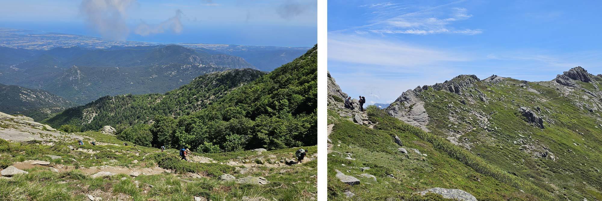
Pictures: Beyond Bocca d'Oru the zigzag path gains height methodically(right) and more challenges at the end of Day 3 (left).
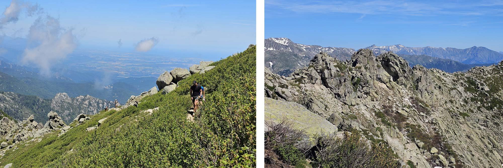
Pictures: After the steep ascent the path breaks out onto the ridge (right) and looking back - the path crosses the front of the cliffs (left).
The refuge is nice and I found one of the best pitches of my trip. Like all refuges the facilities were basic, but d’Usciolu has a third party business operating out of a cubic shipping container that offers meals and provisions. I bought a few bits and pieces to smarten up my lunch breaks.
Day 4 - Refuge d’Usciolu to Refuge d’Asinau
The original GR20 route takes only a day to get to Refuge d’Asinau (7hr 15mins according to the guide) but the route was changed and it now takes two days via Refuge Matalza – the reasoning was that on the single day route the descent into Refuge d’Asinau , which is a nightmare, needs to be done at the end of the day and can be problematic, especially in bad weather. I don’t know if this change was made because of injuries or worse but it’s a pity that the current route now misses both a challenging and rewarding ascent.
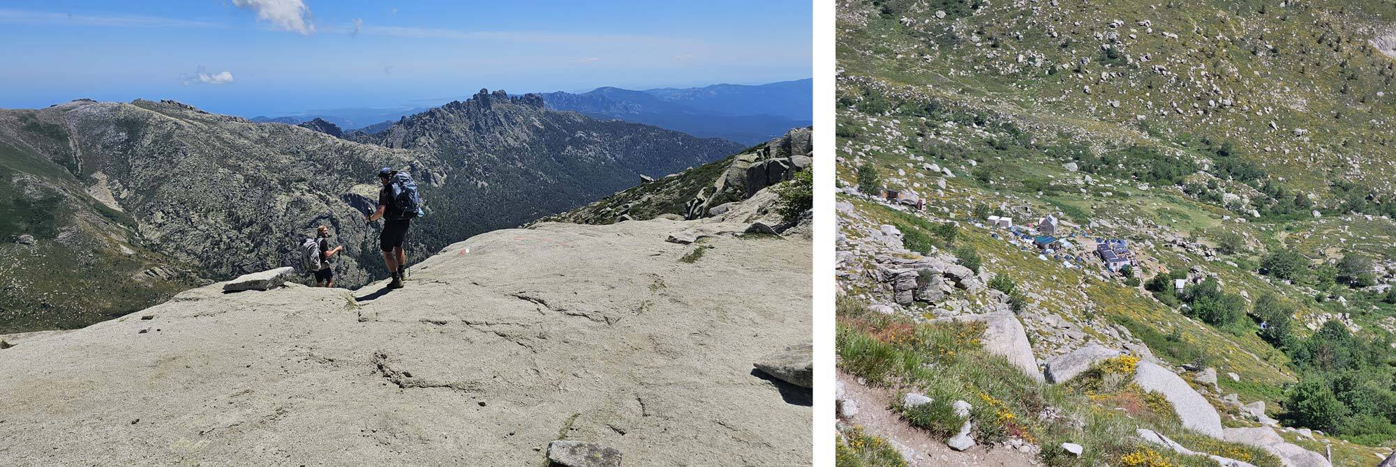
Pictures: Leaving the ridge for the very steep descent to Refuge d'Asinau.
Anyway, I decided to do the single day route which climbs Monte Alcudina and is therefore much more interesting – it was another beautiful day so there was no excuse for not doing it. I wasn’t the only one, quite a few trekkers made the same decision.
The route climbs back onto the ridge above Refuge d’Asinau and follows an easy route along the top line with spectacular views on either side, a bit of scrambling creates interest, and then the end of the lofty part of the ridge is reached and the path drops down to the Bocca di l’Agnonu, a flat area which is the junction of the main route and today's variant.
I turned left and took the path with the GR markers painted out. The variant route crosses a broad plain to access Monte Alcudina and this was a bit of a slog, it was very hot and I struggled to get excited about the ascent. It was one of those occasions when you are approaching a climb but never seem to get any closer.
Eventually though I did get to the base of it. The route climbs to the ridge on the left of the mountain, once the ridge is gained the route turns right and goes up to the summit, there’s a large cross at the top and the views are superb, I was feeling much brighter.
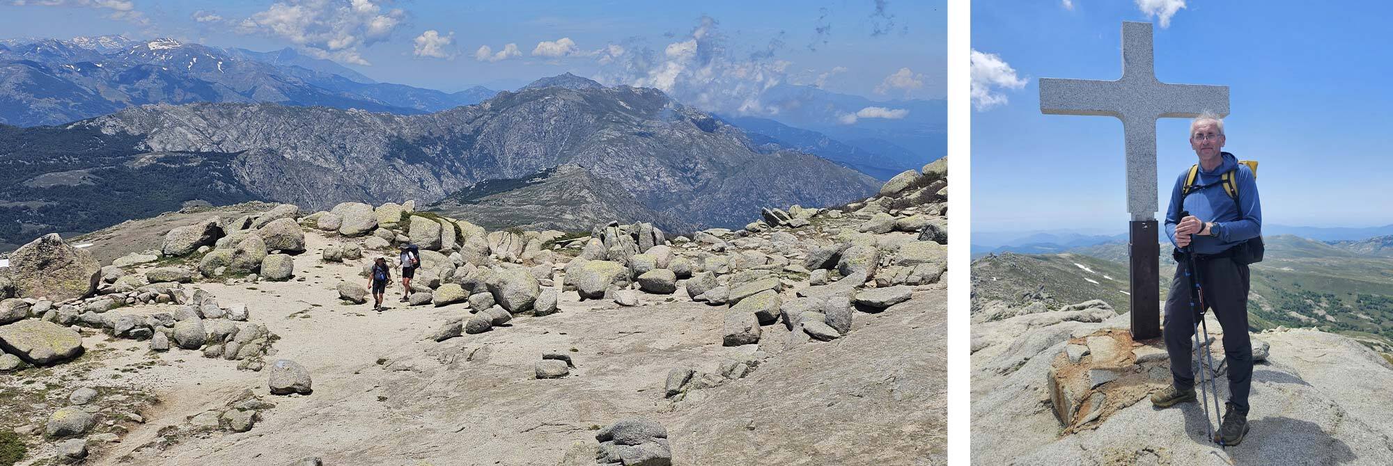
Pictures: 2 hikers approach the summit of Monte Alcudina (right) and Mark the author on the summit of Monte Alcudina (left).
Carrying on down the other side of Monte Alcudina the route meets the long (2 day) route coming in from the right, the two paths meet at the point at which the descent to the refuge starts. I got some amazed looks from two young guys who had left Refuge d’Usciolu with me at the beginning of the day, they obviously were going much faster than me and soon disappeared into the distance. It seemed they had followed the 2 day route but pressed on and did it in one day, they were surprised to see me ahead of them – I was delighted.
The descent to the refuge is indeed a nightmare. Much of it is steep slabs and you have to rely on friction to get down, then there are loose sections which keep your feet from being planted securely and there’s the fact that you can see the refuge from the ridge but it takes ages to get there.
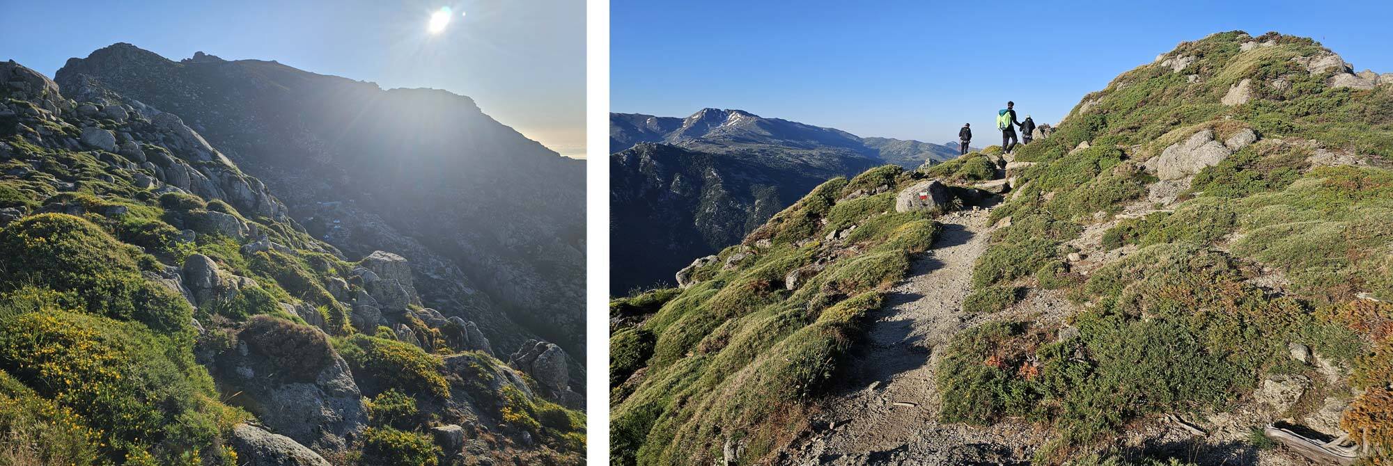
Pictures: The path gains the ridge above Refuge d'Usciolu.
Look across the valley on the descent and you can see the next days variant – the Aiguilles de Bavella. I finally arrive at the refuge at 4.15pm, and as I’d left before 7am that was just over 9 hours trekking.
The Refuge is a bit disappointing and it was hard to find a level pitch. There were four toilets of which two were not working, there were 2 showers and the clothes washing area was a pipe. On the plus side the kitchen area was nice, they were selling a very limited range of food, meals and drinks. I had enough for my evening meal but decided to buy breakfast the following morning. You have to book it the night before and it costs 12euros.
Day 5 - Refuge d’Asinau to Refuge d’I Paliri
The guide recommends a high level variant route to Bavedda. Whether you take this high level variant or stick to the low level main route the time taken is about 5 hours, however there’s no camping in Bavedda so if you are camping you need to carry on past Bavedda to the Refuge d’Paliri.
This was not a problem as the refuge is only 2 hours beyond Bavedda on top of the 4.5hours to get to Bavedda via the high level route. For me at least the route choice was easy, by choosing the high level variant virtually no additional time was required and you were rewarded with some magnificent views and enjoyable rocky pathways threading through rocky stacks.
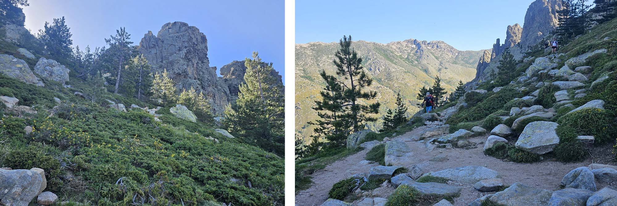
Pictures: Approaching Aguilles de Bavella (right) and balcony path below Aguilles de Bavella (left).
Anyway I set off at my usual 7am or thereabouts and followed the first level section of the route which is the same as the main GR20 route, after about an hour or so the variant route branches off to the left. The first section is a tough sustained ascent through trees which eventually breaks out at the base of the first rocky pinnacles. From here on the route is undulating but across rough and rocky terrain it takes its toll.
Part of this section is the ascent of a gigantic slab using chains to basically haul yourself up, it can be seen from far away and you can make out tiny figures moving in both directions up and down it. It’s intimidating but it looks worse than it is, although the consequences of a fall are serious.
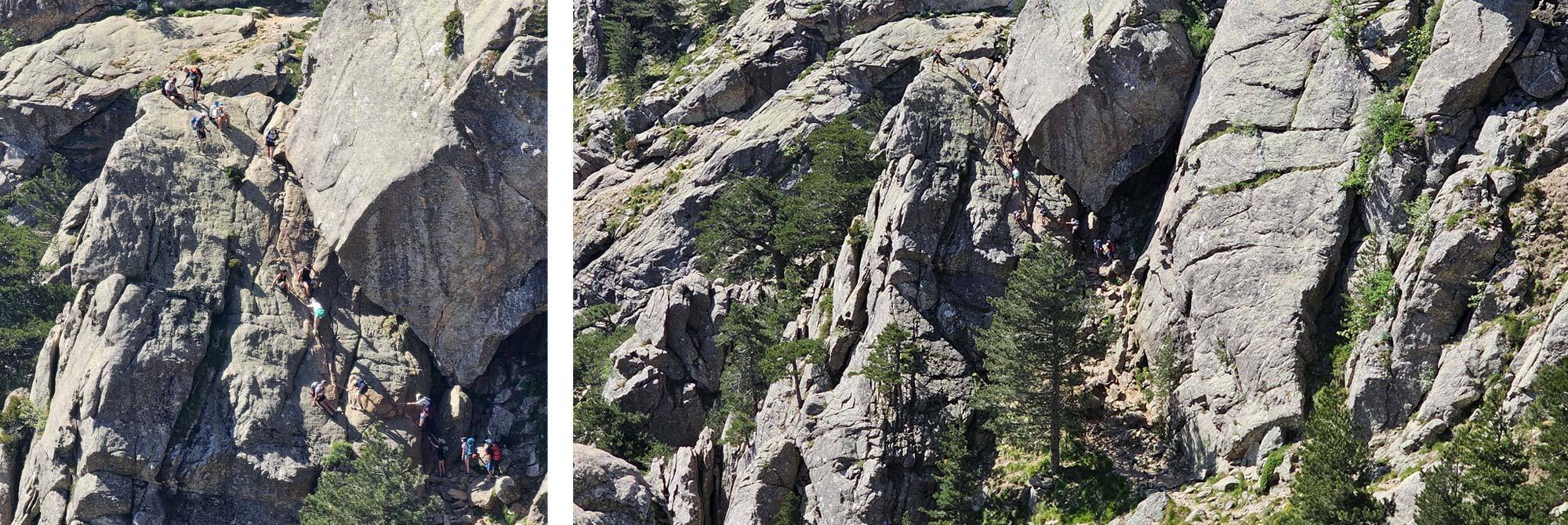
Pictures: The slab climb on the route down to Bavedda.
Further on, the Bavedda road comes into view in the distance and far below, there’s a long trek to actually reach it, the closer you get the busier the trail gets as day hikers hit the trail from the car park at Bavedda.
Eventually I reached the road and turned left into Bavedda itself. It was almost 11am and I checked into a restaurant and had a nice meal, the views from my table were exceptional. I had a good rest here and then went further into Bavedda looking for the grocery shop which my guide had alerted me to. I found this and stocked up – I needed food for that evening and breakfast for the following day.
I then hiked along a signposted track through woods, the route is mainly descending but there is a climb in the middle followed by a descent then level walking to the refuge. Just before the refuge there is a water source which is the one the refuge itself uses so you should top up your water here to save going back later.
The refuge and camping areas were very pleasant with some great mountain views. I got a good level pitch, went for a shower, which was relatively hot – wow, exceptional. I had a beer on the deck adjacent to the refuge before preparing my meal.
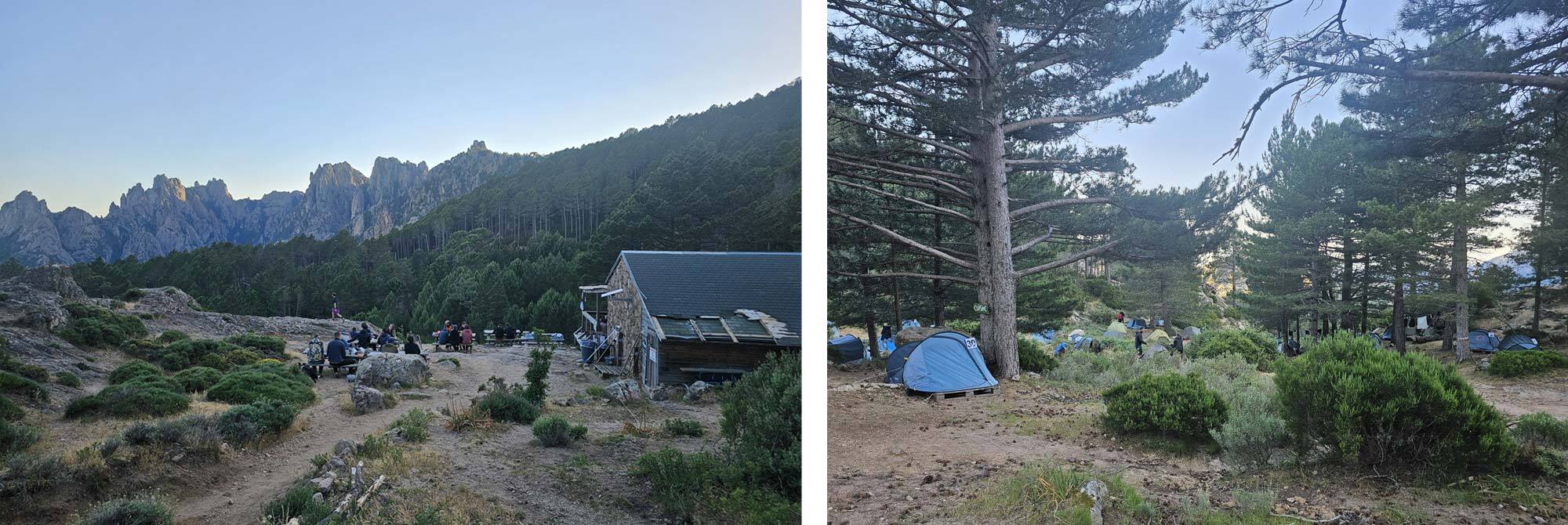
Pictures: Refuge d'I Paliri.
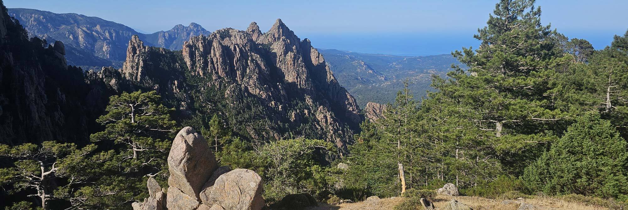
Pictures: Views from Refuge d'I Paliri.
Day 6 – Refuge d’I Paliri to Conca
The guidebook time says 5 hours for this section and that’s about right, as usual I left before 7am. The route is broadly downhill but honestly it still seemed tough, the climb to Bocca di u Sordu being particularly tiring, again the weather was hot and I think the previous 5 days had taken its toll.
There were still some striking vistas to see especially in the early parts of the day enhanced by the early morning sunlight. I plodded on doggedly. At about 10.00am I reached a big mountain pool in the Ruisseau de Punta Pinzuta, just off the path, it was too tempting and I stripped off and went for a swim, my first wild swim of this trip.
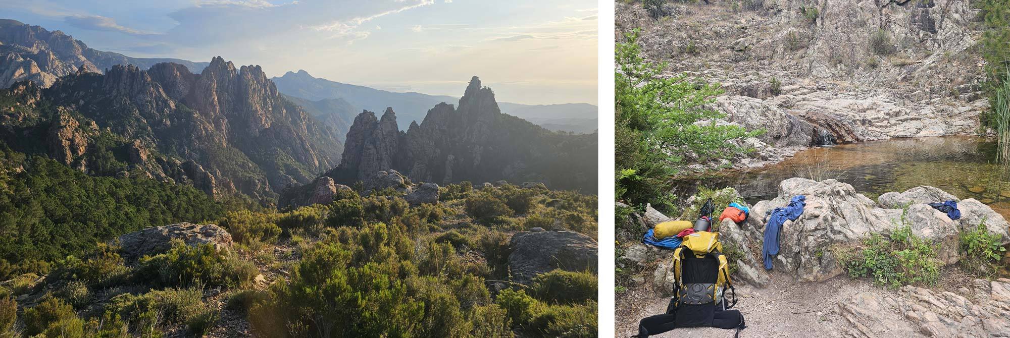
Pictures: Early morning light on the descent from Refuge d'I Paliri (right) and nature's swimming pool at Ruisseau de Pinzuta (left).
It was very refreshing and cheered me up no end. After a leisurely repacking I heaved my pack on for the last time and hiked the final 90minutes to Conca.
At the end of the route the path breaks out onto a road and you walk into the centre of Conca from there, after some minutes I reached the Bar le Soleil Levant, or the ‘bar of the GR20’, there were about half a dozen people I recognised from the trail, I joined them and tucked into a meal and a beer. Job done.
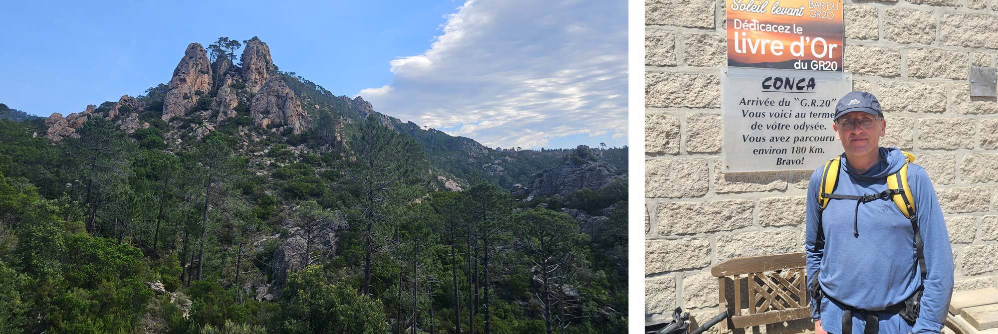
Pictures: Descent to Conca (right) and Mark at Bar le Soleil Levant (left).
 |
||
 |
||
| Mark Richardson |
||
|
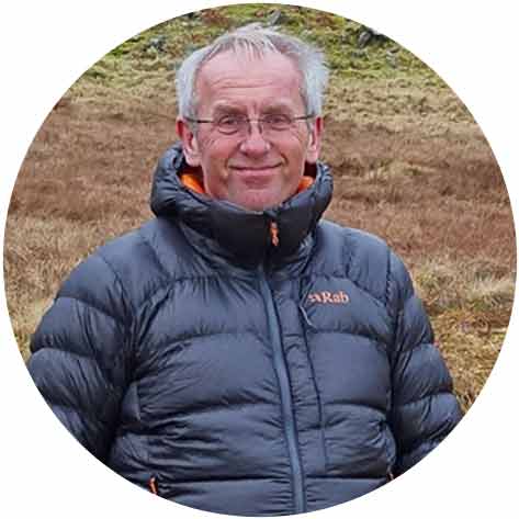
Mark was the founder of Ultralight Outdoor Gear back in 2006 and has completed long distance backpacking routes in some of the remotest parts of the world. His favourite hikes have been Torres del Paine (full circuit), the John Muir trail and the Markha Valley trail (Ladakh, India). Although semi-retired Mark has not lost any enthusiasm for minimalist backpacking and is tackling Scotland’s Munros choosing multi-day backpacking routes over the more usual guide book excursions. |
||