Rob Hikes the Liechtenstein Trail
Posted by Rob Farquhar on Jan 21, 2025
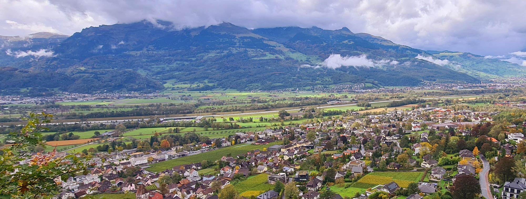
Established in only 2019 the Liechtenstein Way stretches the full length of the country, from the border of Switzerland, in the South, to the Austrian border in the North. This is a journey that can be done by car in just 24 minutes, but to complete the trail, the route stretches across the width of the country on mountain trails, through villages, alongside rivers, past castles, nature reserves. It also passes a lot of cattle happily grazing near bus stops and businesses. A sight that still amazed me even at the end of my journey.
The Way itself is 79km long/49 miles, so short enough that an experienced multi-day hiker could walk the length of a country in a weekend. However, the guide recommends spreading it out over 5 stages and this being my first multi-day hike- I’d done previous multi-day bike routes, I was quite content to spread it out.
Jump
to:
Getting there
Accommodation
Recommended websites and apps
Kit used

Day 1 - Balzers to Triesenberg 16km
At the beginning of October, the autumn colours were on show which only added to the stunning views. The trail follows a strip of rolling land with the Rhine River flowing through the middle — a natural border between Switzerland and Liechtenstein. On either side of this were the Alps. To give you an idea of the beauty of Day 1 I took over 100 photos in all the excitement and giddiness of finally hitting the trail and it was difficult to delete any.
Starting at the Switzerland border, we headed through Iradug in Balzers where the country’s yellow postal service motorbikes and carts were zipping between lanes; the only movement we saw. Gutenberg Castle was the main sight of the day, over 800 years old and surrounded by snowcapped mountains. Alongside the castle, even in October, there were people picking grapes from the vineyards. We had been told the previous evening by some locals that they expected to get snow here in under a month, so it was fantastic to still see people still picking their harvest. The route skirted between houses and streams before stretching away from civilisation along an old imperial road which slowly began to rise. At this point, we were at 474m and our stop for the night was nearly double that. As the lane hooked right the steady incline began through forests, past meadows, looping around old cotton mills, and past a never-ending array of beautiful homes- “I’d live in that one… wait no that one…. NOOOO this one! …… Wow I really like this one!!” was the running commentary for the day.
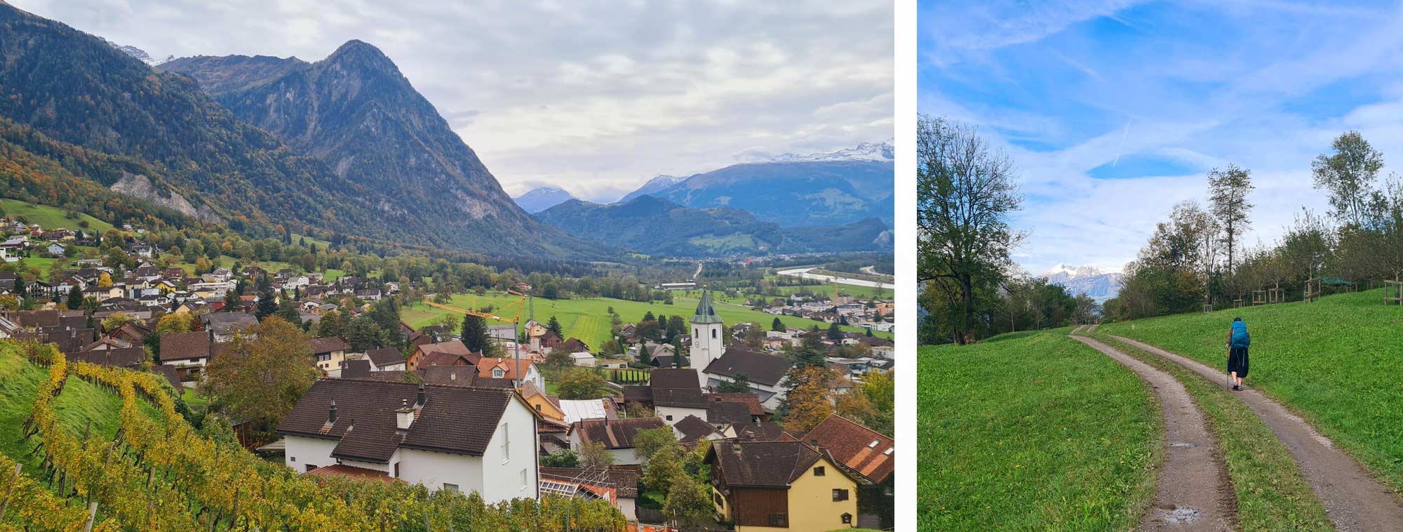
The route itself is easy enough to follow - blue and red “Liechtenstein-Weg” signposts were at every junction, turn and forest track, so it can be done without a map or GPS. However, there were a couple of times when we missed a few posts, so I’m glad we had the GPS to keep us on route.
It really had been a comfortable start to the hike, being able to stretch the legs, allowing us to get into a rhythm and feel settled with the weight on our backs. But into the last hour of the walk, the mountains were now at our feet and we had to head straight up to the first stop. We twisted and turned through the forest which literally stretched all the way
up the flanks of the mountains. Slowly the sweats began. We went quiet and all
you could hear was the ‘tap tap’ of the walking poles. Occasionally the track
became fire road which gave us some glimpses of the view into the valley but
for most, it was a track within the forest.
We emerged into civilisation again and completed the final few steps of the
first day into Triesenberg, our highest point on the route. This offered an
incredible view of Liechtenstein and Switzerland and the route which we had
taken in the morning.
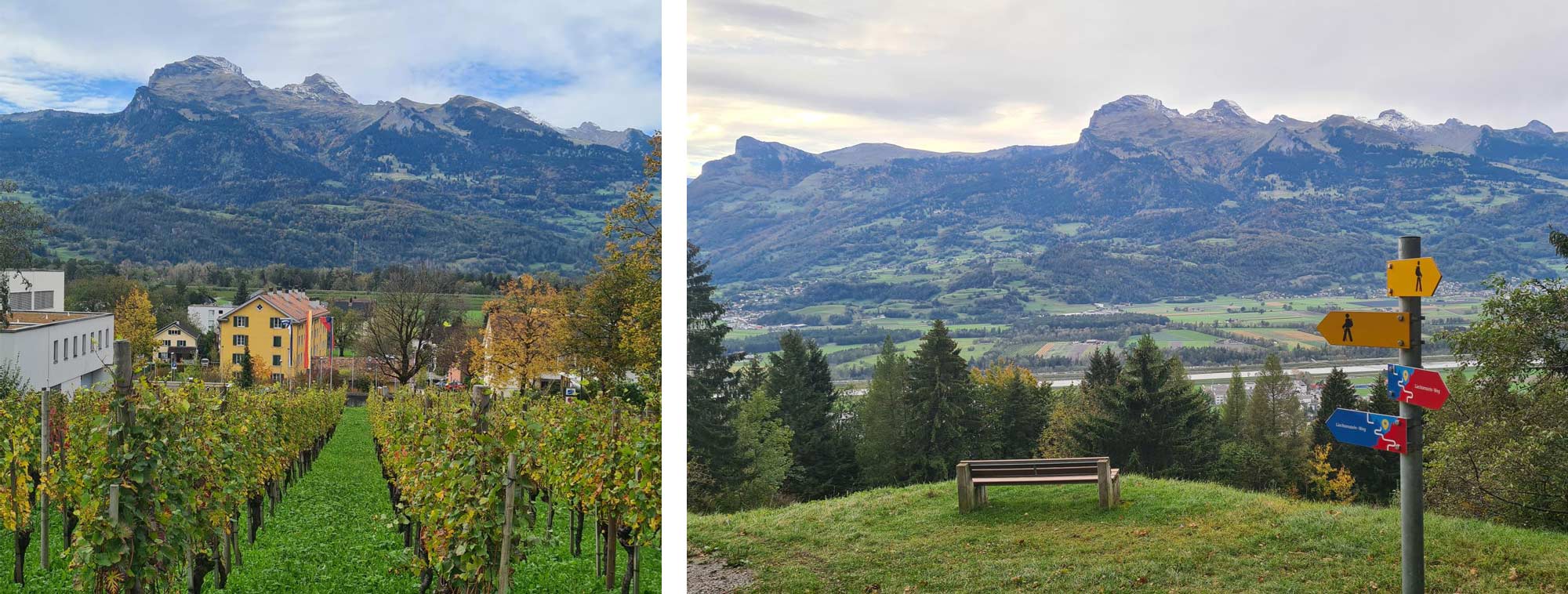
Day 2 – Triesenberg – Vaduz 10km
We had basked in sunshine for the first day but Day 2 started off with rain and a mist that kept rolling up the mountainside. We were heading to the capital Vaduz today which meant descending down the sharp incline that we had come up yesterday.
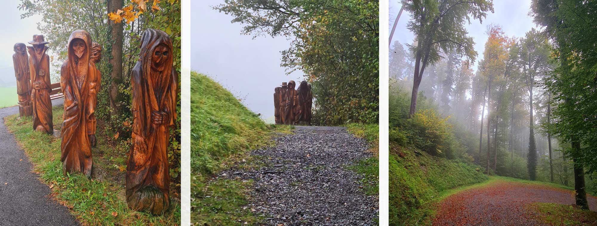
The route started on tarmac and then it literally just stopped, turning to
gravel alongside a few stables. The countryside and the track ahead revealed
some 6ft tall carvings of figures. Approaching from behind they looked quite eerie
in the mist but from the front they were terrifying, depicting the living dead
that wandered through the villages at night. Thankfully the information board
next to the figures explained the truth but as we walked away, I couldn’t help
looking over my shoulder to make certain they weren’t following us and it was
just an urban myth.
Eventually, the descent began and we came across the ruins of Wildschloss (Wild Castle)/Schalun Castle. Within the walls are benches and raised firepits for people to use, a feature that was found throughout the country in other ruins, public parks and forests. Some even had a log stack for you to use and fresh drink water available too, a really charming way to relax in a wonderful setting.
Eventually we arrived at a bench with a spectacular view of Vaduz
Castle which dominates the skyline. Sadly, a huge ant hill ruined this moment
to stop for food so we carried along. Luckily we found a bench with an even
better view of the Castle so quickly claimed it and settled down for lunch. The
castle sits above the capital Vaduz and with whisps of cloud still floating
behind it, and the Swiss mountains in the distance, it was safe to say this was
a great picnic spot!
After the calm and peace of the morning and the previous day to arrive in the
capital on a weekend, opposite an outdoor bar with live music and a food market,
was a complete change in our experience; it made me realise how easy it was to
get lost in the beauty of this country without being too far away from
civilisation.
The town itself is beautiful to wander through. Wide traffic-free open spaces in
the centre between shops, several museums and historical buildings and within
minutes of this you’re walking alongside a stream backing onto people’s houses
and then onto a stretch of track alongside the River Rhine. You can, at this
point, cross the old wooden Vaduz-Sevelen bridge, a listed monument, open to
pedestrians and cyclists, to reach the border of Switzerland and Liechtenstein
and get the mandatory photo standing in two countries at the same time.
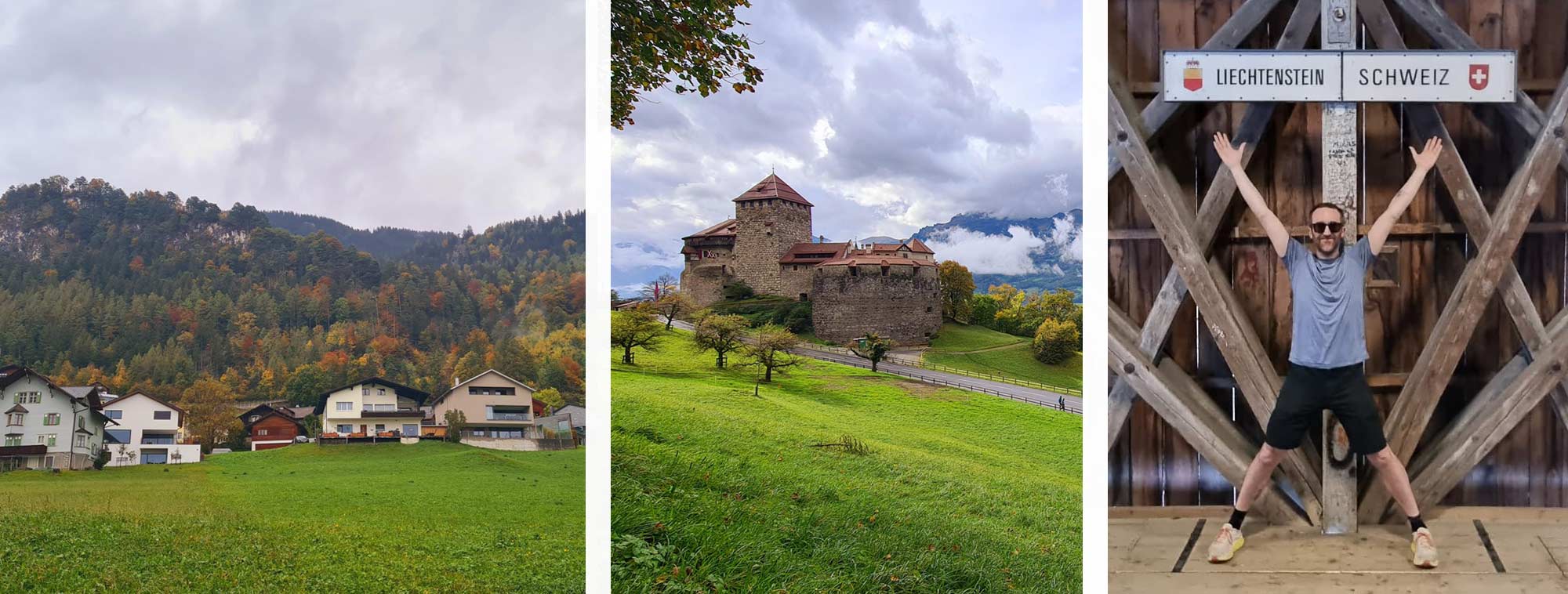
The walk along the river itself was sound tracked by the rushing river as their flood defences blocked off the noise of anything else. This track emerged alongside the national football team’s stadium, which was being prepared for the evening’s huge match against Gibraltar. As a football fan to see a national stadium, the town, and then the mountains behind it were amazing.
After a quick stroll back into the town we decided to end the day at a bus stop back in the capital, which being as it’s Liechtenstein, was right next to a vineyard.
Day 3 – Vaduz to Nendeln 16.8km
The weather this morning was in our favour, a nippy start but fresh enough for just a baselayer on. South of us was Vaduz Castle which looked fantastic with snow-capped mountains as a backdrop. You’re really spoilt for choice on views on this walk as over 43% of the country is covered in forests, so we never quite knew what was going to be around the corner.
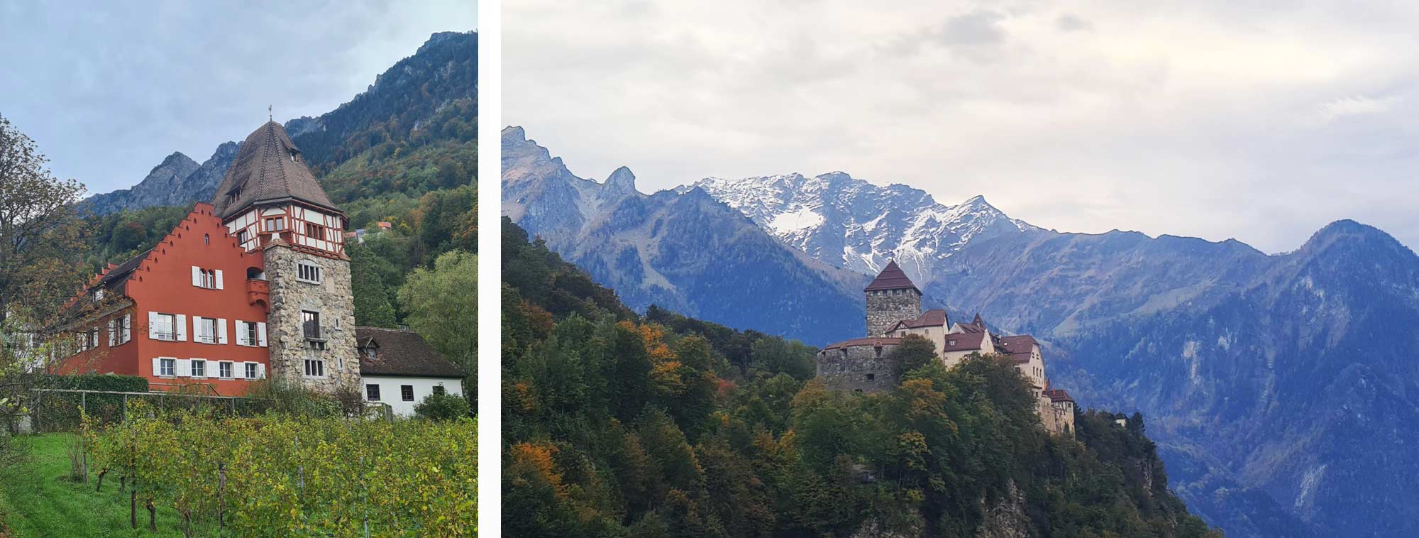
After walking through nearby Schaan and peering through the shop windows the road started to rise. We took the opportunity to stop for lunch before it really ramped up. It was a peaceful spot if you ignored the constant ringing of the bells attached to the cattle at the far end of the field. It sounded like a herd of them, yet there were only two happily munching away, oblivious to our growing frustration with them. As a distraction, we started our annual ‘How many falling leaves can you catch?’ competition. I was unsuccessful. My excuse? – The wind.
Then began our longest stretch of pavement alongside a main road, but as it twisted up the side of the mountain, the footpath became more direct through smaller paths and tracks. It crisscrossed the road and emerged again as we entered the village of Planken. The beautiful wooden buildings have an alpine feel about them.
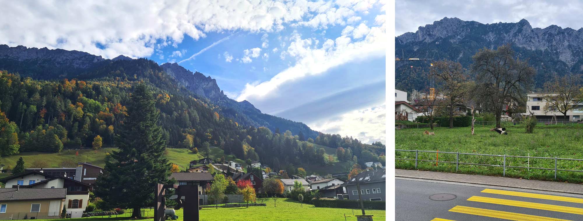
Next to one of the numerous freshwater fountains, mugs had been left out for people to use. This was typical of the friendliness of the country. The moment we arrived at the first hotel we had to use the phone to ring the owners of our arrival (“If you lean over the counter [I had to balance on it] and see a key on the desk that will be yours. We will see you later this evening”). Furthermore, a sign that was (possibly) lost in translation; “For a late depart please tell the reception. Also we are fond of keeping your luggage during the day”. Everyone we saw during our time in the country were all happy to say “Hoi!” (the local greeting for ‘Hi!”).
At the edge of the village, the road stretched ahead of us and all we could see were the tips of mountains in the very far distance. As we got closer though the valley floor emerged into sight and the most fantastic view emerged, just as some warm sunshine hit us. This was by far the best bench with a view I’d ever sat on. We just sat in silence and soaked it all up. We could have happily sat here until the sunset, but forgetting we were still in a village, someone started a leaf blower and the peace was broken. Rucksacks back on we begrudgingly moved away from the bench very slowly, with just several last glances at the view.
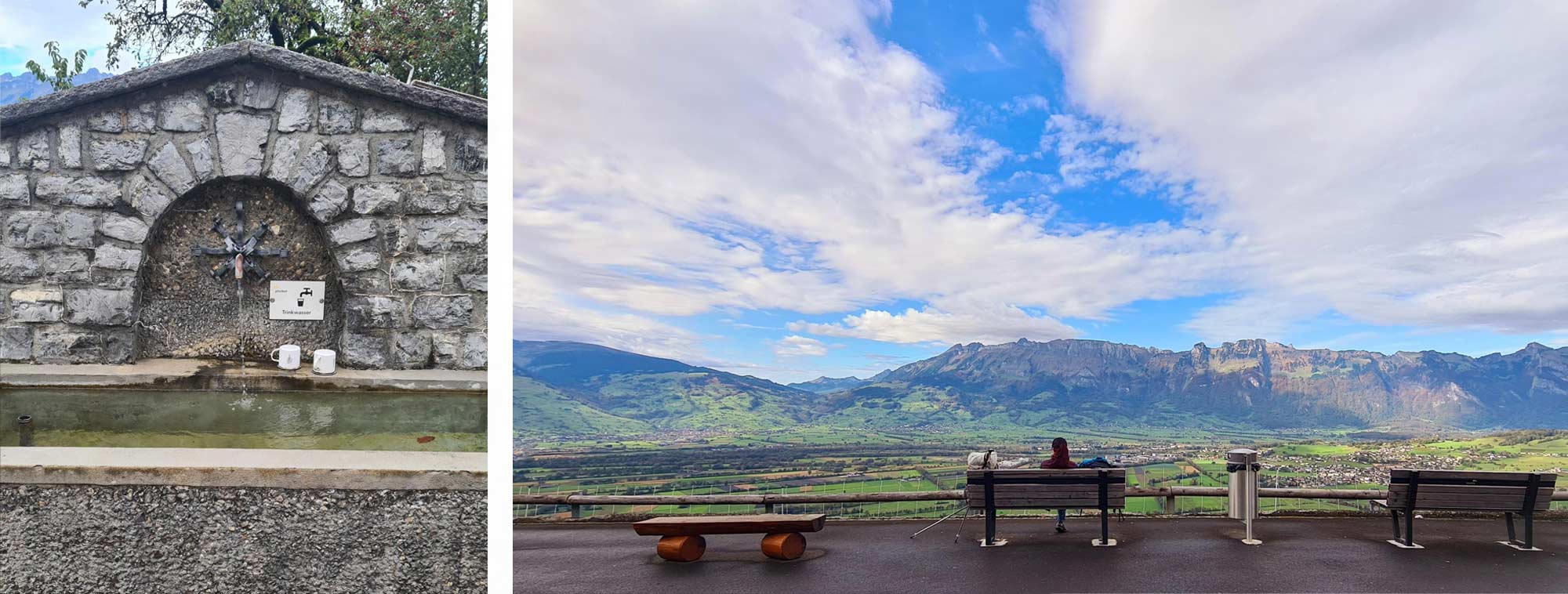
Immediately the trail descended through the trees and didn’t level out for an hour until we came into Nendeln, the final stop of the day. The grip was not great on the descent due to the number of leaves that had fallen covering slick roots. It was still wet from a few localised downpours so trekking poles and good footwear were certainly needed for this part.
Day 4 – Nendeln to Ruggell 14.8km
The penultimate day was the flattest of the Liechtenstein Way with 244m/800ft of climbing in total. Most of this was over rolling hills in the valley floor so we could spot where we had been over previous days like Vaduz Castle, the village of Planken and the waterfall we had passed in the forest above Nendeln. We also had our first glimpses of Austria.
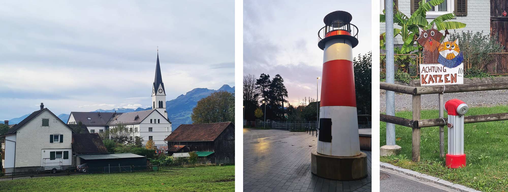
The idea behind the Liechtenstein Way is to give visitors the opportunity to pass through all 11 of the country's municipalities. As the country is less than 25km/15.6 miles long and 6km/3.75 miles wide the trail does twist and turn through the country. Today we ventured past sports complexes, industrial estates, more beautiful homes, through school grounds, churches and shrines, villages, a forest and (oddly for a country with no coastline) a lighthouse to make it to the northernmost municipality in Liechtenstein, Ruggell.
Today we caught our first sight of some wildlife, other than sheep and cows. This time it was red kites and not just a few of them either, all using the thermals to slowly move through the air before diving for their prey. It was mesmerising watching these birds in action.
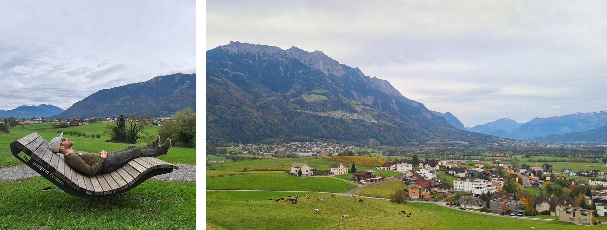
We were making good time today and hadn’t planned to stop until lunch but as we descended down a hill two large benches called out our names. These weren’t just your standard ones either; they were curved and reclined so you could really relax into them and each was large enough for two people. As quick as a flash our rucksacks had been removed, we reclined …. and then we had a nap. This country definitely knows how to do benches well! Two amazing ones in less than 24 hours.
We continued the trail through the centre of the man-made
swimming lake at Grossabünt Outdoor Leisure Park admiring the two sleeping
swans blissfully unaware of people swimming metres away from them.
It was at this point the slow plod and the nap became a bad idea as the heavens
opened and we got soaked for the final few hours, although it felt a lot longer.
We were fortunate at one point that we passed through another forest which
provided some shelter and another chance to carry on with ‘how many falling
leaves can you catch?’ although this ended with one of us sliding into a ditch
which we were oblivious to.
We reached the town of Ruggell, our finish for the night, however our accommodation was on the other side of town, a short stretch away so we continued walking through, what felt like, a deserted urban environment in heavy rain which wasn’t exciting. It was a case of head down, not talking to each other and just power walking to the hotel. I’m sure the town was beautiful, as they all were, but we didn’t see much of it.
Day 5 – Ruggell to Schaanwald 19.4km
This was the final day but the longest in terms of distance. For the last time we repacked our rucksacks, tightened the bootlaces, grabbed the walking poles, found the small rise onto the riverside gravel track and started the day. The hills began after a fairly flat start so it was pleasant to get a few kilometres easily ticked off to warm ourselves up. It was a glorious start, the sun not quite breaking through the morning fog yet, and the Ruggeller Riet Nature Reserve, the largest in the country, spread out before us.
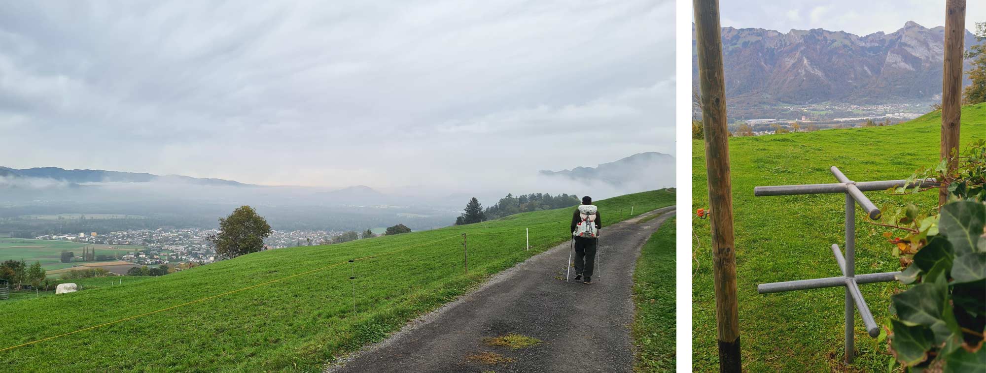
We left the nature reserve and the track started to climb up below the tree line. We stopped again to watch more red kites in flight, a sight that I could never get bored of. The route traversed the side of this hill and gradually brought us to the top where there were the remains of another castle; this one too had a firepit and fresh logs for people to use. Passing through another village the footpath rolled over another hill which had manmade steps cut into the ground - a painful climb with not being able to control how far you stretched your legs. At the top was a quirky sight- turnstiles, instead of gate or stile, over a couple of fields.
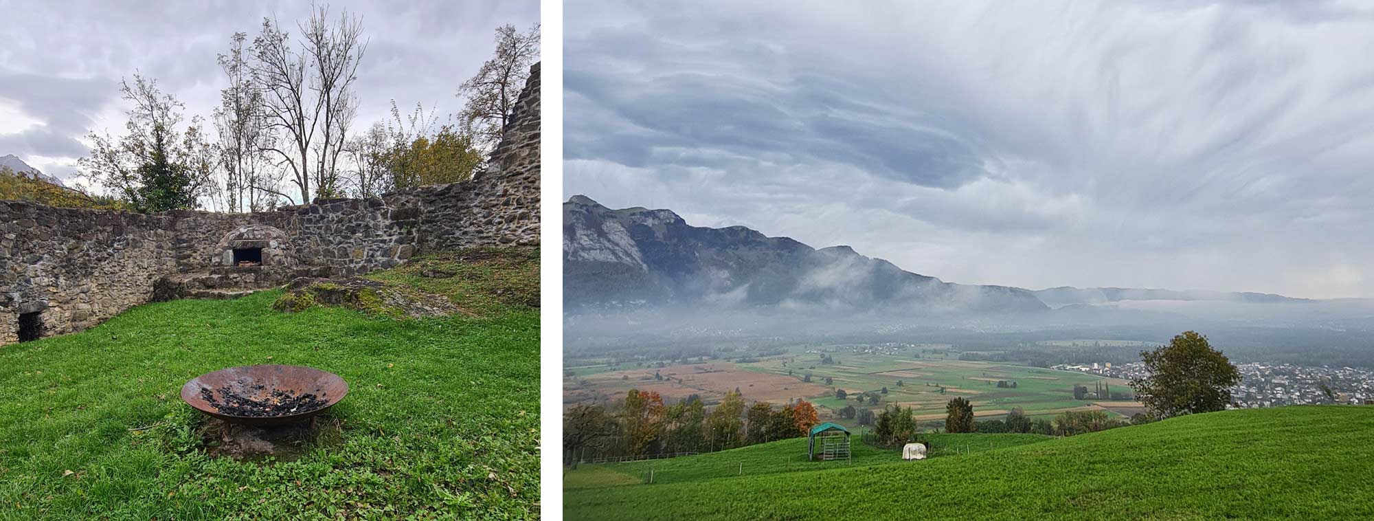
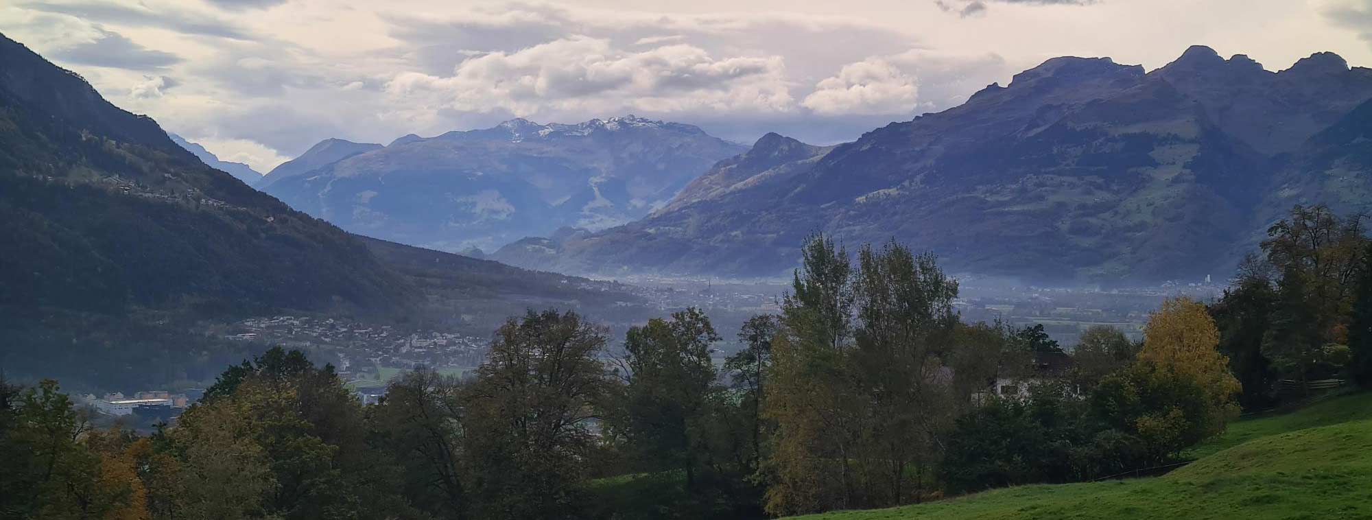
Stopping in the village of Schellenberg we stocked up on nibbles for the rest of the day underneath an incredible cloud formation. It was quite an eerie sight and it kept us absorbed as they moved and reshaped over the Swiss Alps before the track arrived at a rooted entrance into a forest. There was a comfortable climb up along the edge of a mountain and suddenly we were on a cliff edge overlooking a misty Austria.
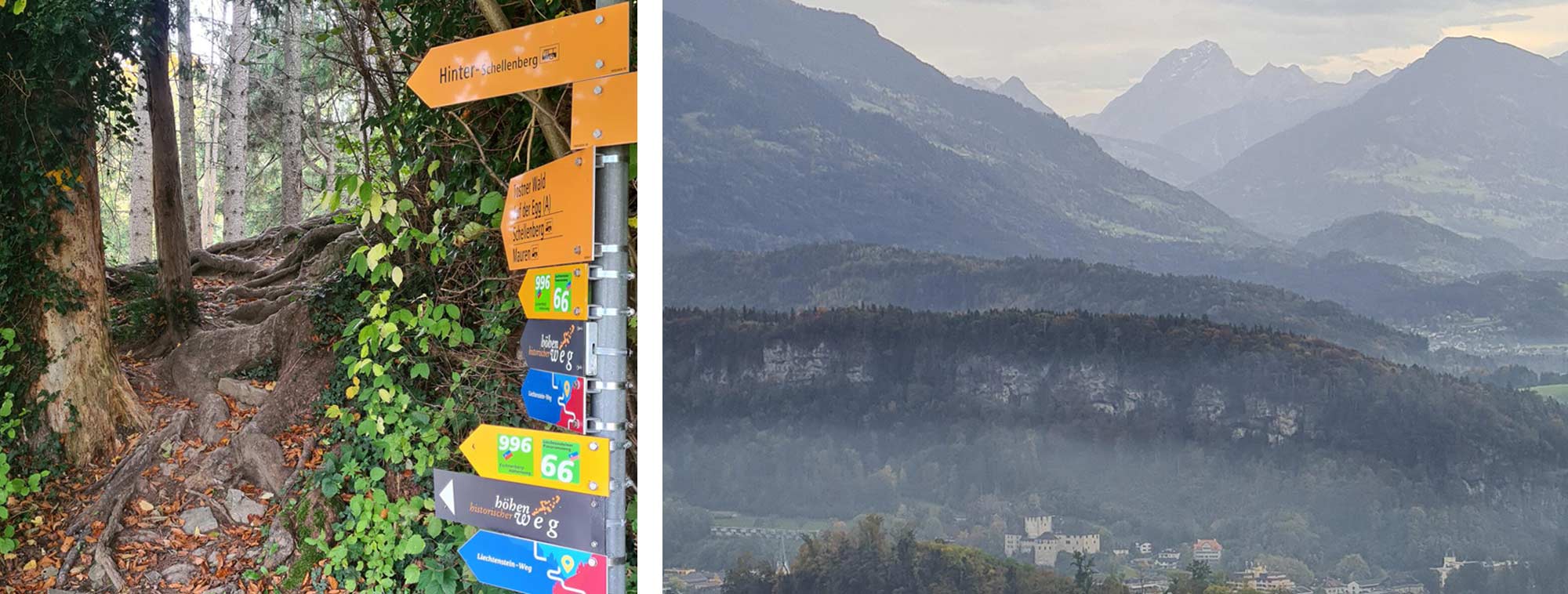
The track from here rolled through small valleys and hamlet-sized settlements offering one last look at where we had previously been, although now several kilometres away. Climbing the last hill, knowing the end was less than an hour away, was an odd feeling, I was ecstatic but sad too. As the route peaked halfway up the hill it felt odd to say that there was just one last descent left before the finish at the customs office from Liechtenstein to Austria. Having never done a long-distance walk I’d never felt the confusion about what to do at the end, with no official marker post to direct us. Inevitably we touched the sign to mark the border between the two countries and then looked at each other in puzzlement. “What now?” “I’m starving! Food? Drink?” “Yes” A quick internet search showed a café a few minutes walk away so we headed towards the tea room which, upon arrival, was actually a smokey pub. We weren’t exactly spoilt for choice along this stretch of road and mentally we were glad to stop so we entered. That pint tasted incredible!
The final score in the leaf-catching competition was 4-1 to me.
There is no airport in Liechtenstein so we flew into Zurich and then jumped straight onto the train. I would recommend booking this in advance as just 24 hours later the price of the train had doubled. A very smooth and quiet 2-hour journey passed by through to Buch, a border town. It is then two extremely short bus rides to the capital town of Vaduz- population 6,000.
We stayed in different hotels and hostels at the end of each stage so carried our luggage with us but due to the small size of the country you could just base yourself in one location as there are regular bus services across the country. The end of each stage is probably no more than a 20-minute bus ride back to the capital. Top tip: learn to say “one-way” or “return” in German and with confidence. I saw one campsite along the route- Camping Mittagsspitze AG on day 1. I was unable to gauge whether wild camping is allowed or not.
LIStory
This has around 148 interactive points throughout the whole walk providing augmented reality, history lessons, and pictures from over the years which provides you with a lot more detail of the country. There are a few points on here which are slightly off the route and GPX file so keep an eye out for them. This is downloadable from all app stores.
Tips on how to make the most of the route and things to do nearby as well as other walks to do in the country:
https://tourismus.li/en/the-liechtenstein-trail/
This provides information on all of the trails- distance, ascent and descent as well as recommended places to eat and stay. The GPX files for each stage can also downloaded from here: https://www.outdoor.tourismus.li/en/tour/hiking-trail/the-liechtenstein-trail/44738386/
Not as vital as the other sites but it was wonderful to receive a fold-away tourist map of the country and the highlighted route to get the excitement levels going. They are happy to send these abroad too. http://booking.tourismus.li/liechtenstein/de/brochure/list
Sierra Designs Flex Capacitor 40-60L (although the 20-40L would be sufficient)
Black Diamond Pursuit FLZ Trekking Poles
Suunto Vertical Titanium Solar Watch
Mountain Equipment Lightweight Drybags
Inov8 Roclite Pro G 400 GTX
Stance Franchise UL Crew Socks
Montane Tenacity Pants
Berghaus Ridge Roamer Softshell Pants
Fjallraven Abisko Hike Shorts
Montane Dart Long Sleeve T-Shirt
Mountain Equipment Headpoint Tee
Montane Alpine 850 Nano Down Hoodie
Montane Torren Petrichor 3L Jacket
Two Camelbak bottles
Cap
Sunglasses

|
||
|
||
|
Rob Farquhar |
||
|
Rob has always enjoyed being on a bike ever since he was a child. He tries to enter at least one mountain bike event a year. Since moving closer to the Yorkshire Dales and now the North York Moors he’s started to do more walking and in late 2024 became the 450th person to complete the Liechtenstein Way. He has completed the Coast To Coast (C2C) on his mountain bike, the Yorkshire 3 Peak challenge twice and has attempted to hike up Ojos Del Salado; the highest peak in Chile. His aim for 2025 is to complete the Cleveland Way over several weekends with his Dad who suffers with mobility issues due to Parkinson's. Rob has been working in the outdoor retail industry since 2012. |
||
