Lois' Tour du Mont Blanc - September 2026
Posted by Lois Fife on Oct 29, 2026
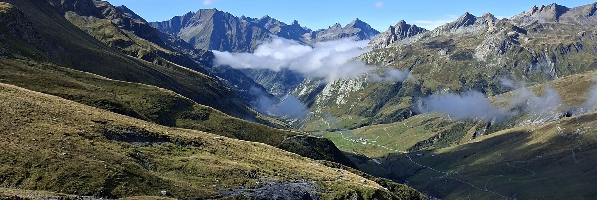
Following months of meticulous preparation – booking campsites and accommodation; checking wild camp regulations; preparing daily GPX route files; and deciding what kit would work best for this hugely popular, 170km hiking circuit around western Europe’s highest mountain in September, we were ready for the off. With help from Cicerone’s The Tour du Mont Blanc book during planning, with its great insight into where to stay, where to refuel, as well as providing distance and elevation information between locations along the route, my hiking partner and colleague, Mat and I were prepared, excited and keen to get going!
We took a direct flight from Manchester to Geneva with EasyJet, carrying only carry-on luggage for a speedy exit and zero risk of lost luggage, then took a pre-booked Alpy Transfer bus service to Chamonix Sud bus station.
An overnight stay at the Big Sky Hotel was conveniently situated between the bus station and Les Houches, the official start of the TMB. The vast breakfast fuelled us well in preparation for our first day. We wandered to the bus stop about 1km from the hotel to take a bus to Les Houches. This took a while as the route was full of splendour and beauty in the early morning light. This was a sign of things to come.
We needed to find camping gas for the stove, and at the small Carrefour supermarket behind the main square in Les Houches, I managed to grab the last canister. There are apparently a couple of sports shops in Les Houches too that also stock gas – as our trip is relatively late in the season, this may be why stock was depleted. Once this was ticked off the list, we could officially cross the start line…
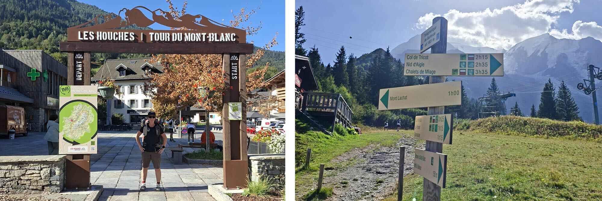
Day 1 – Les Houches to Le Pontet: 16.7km, Elevation: 1472m, Descending: 1416m
The official Tour du Mont Blanc start is an arch in the main square in the centre of Les Houches, so after the customary photocall to mark our start, we proceeded along the road out of Les Houches to the Bellevue cable car, which is an accepted lift to gain some early elevation, especially as we had opted for the high-elevation route variant that day, taking us through Col de Tricot at 2120m.
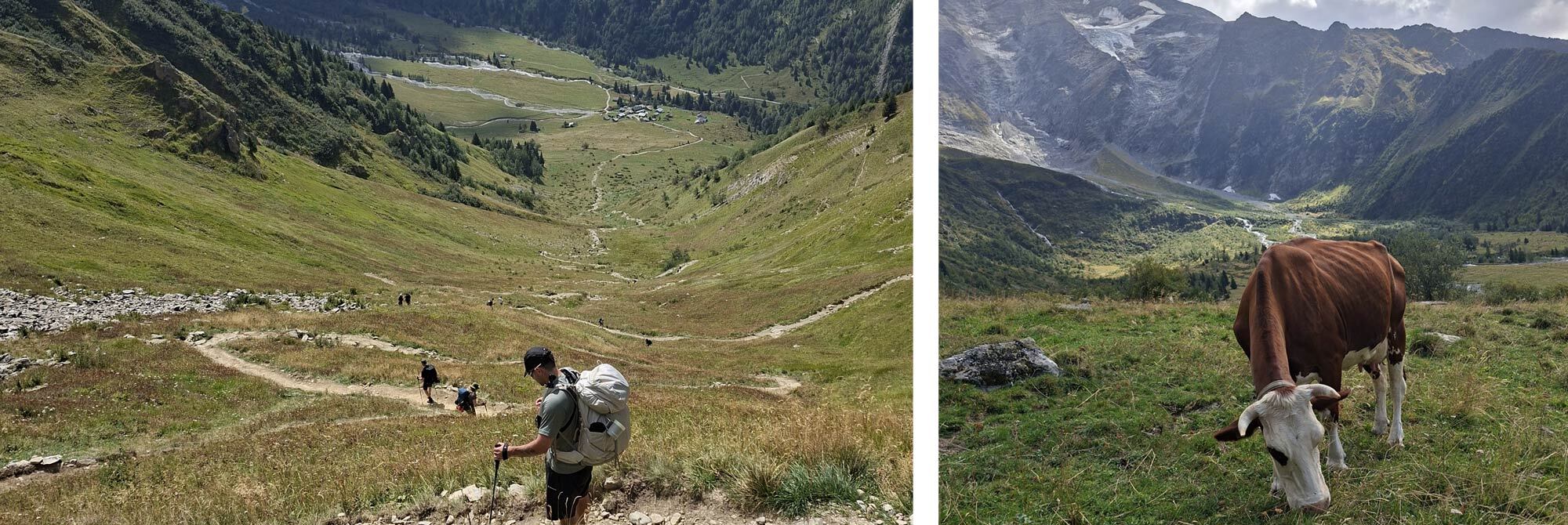
Fairly soon after the cable car station, we crossed the river using a Himalayan-style suspension bridge, which bounced rhythmically as we crossed, and this marked the start of a relentless climb up through the forest. The forest gave way to an open meadow with wildflowers and assorted grasses. The views of the Glacier de Bionnassay to our left were stunning and a huge contrast to the lush green meadow and vegetation around us.
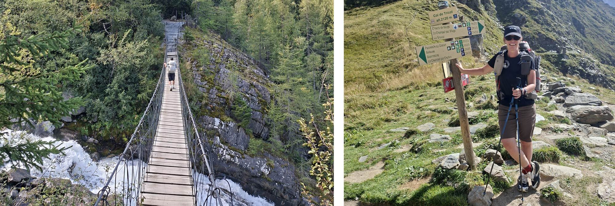
The temperature, which had been very warm as we climbed, slowly dropped as a gentle breeze joined us as we approached the Col. From the Col, the descent was a zig-zagging path that took the sting out of the gradient as it dropped 600m to a cluster of stone and wooden buildings at Refuge de Miage and a very welcome beer in the afternoon sun. A fast-flowing stream with a tap-off supply made for a convenient water refill opportunity to keep us hydrated over the last lump of the day, before dropping to Les Contamines, a charming village with a well-stocked supermarket. We stocked up and headed along the river to the campsite, following numerous signs letting us know we were 25 minutes from the site!
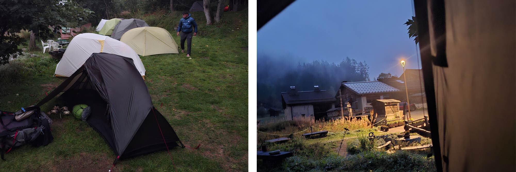
The flat green campsite Le Pontet had a field dedicated to TMB hikers, so we pitched in very familiar territory, amongst many of the tents we sell at Ultralight Outdoor Gear. My tent for the trip was the Wechsel Aeron 1P. Nice and light at around 1kg, the carbon-poled, free-standing tent with an all-mesh inner was perfect for this trip, where ventilation is key and weight saving is beneficial. Internal space is sufficient, without feeling like a coffin, and the door/vestibule is large enough to store kit and allow easy access. I used the closed triangle on the opposite side to house my backpack and poles. The Aeron’s slim pack size allowed it to fit neatly in the side pocket of my pack. As we settled in for the evening, the rain started…!
Day 2 – Le Pontet to Les Chapieux: 17.5km, Elevation: 1462m, Descending: 1097m
Following a night of interrupted sleep, rude awakenings as lightning flashes illuminated the camp with wild abandon and warned of the impending boom that followed. I do like a good mountain storm, but in the wee small hours it was a little less welcome. The forecast was not good for day two either, with lots more rain throughout the day and a high ‘risque d’orage’ for the afternoon was far from ideal as we were planning on staying high at around 2600m for a wild camp at Col Des Fours.
There was chatter from other hikers about not heading out and taking a day off or skipping that part of the route. We did have a rest day built into our itinerary, but were planning this for day 4, with the knowledge that our day 3 route was lengthy in distance, with big numbers for both ascent and descent too. Decisions were needed! After a hearty continental breakfast and copious amounts of coffee whilst watching other hikers setting out under various rain defences, our plan was hatched… It didn’t sit easy throwing our rest day joker card into the game so early on, nor did doing the wild camp, but foregoing the latter made more sense as we had other route options available that would only throw us marginally out of position to start day 3.
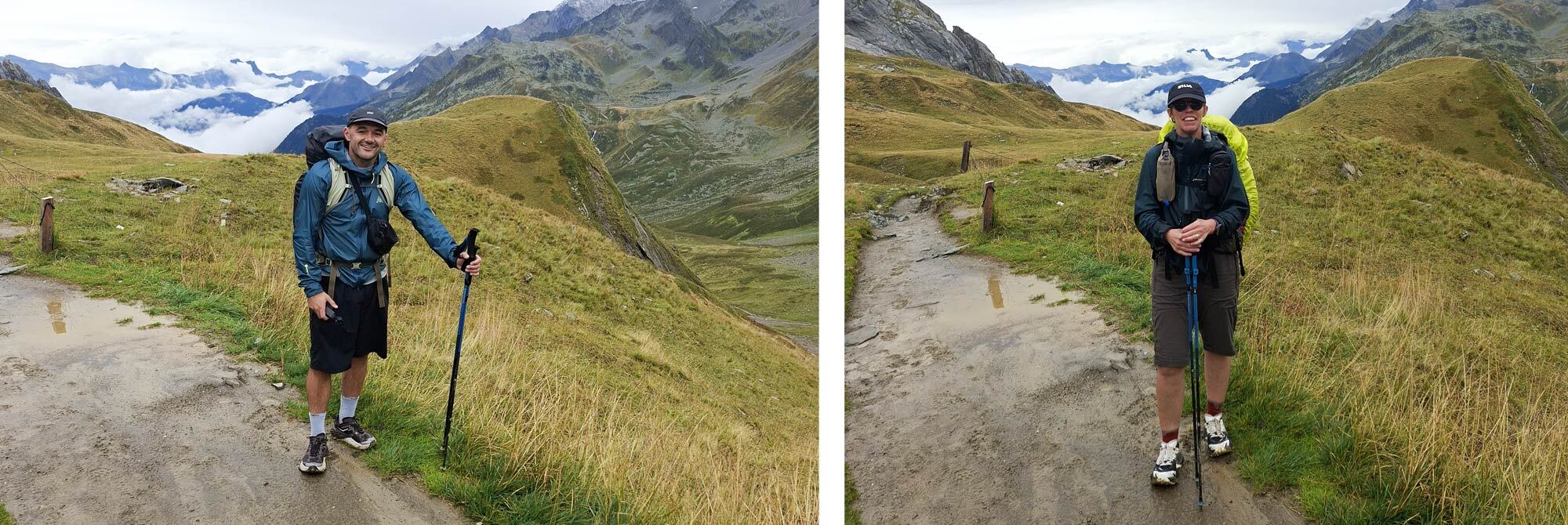
We packed up camp and headed out, opting for shorts and a waterproof jacket as my barrier of choice. I knew the continuous ascent up Col du Bonhomme and a final little kick up to Col de la Croix du Bonhomme totalling 1350m would generate enough heat to keep me warm, and adding waterproof legwear would certainly make me overheat. The start of the walk was flat along the road, which soon turned into a river as the gentle rain that had eased us from camp increased as though someone had opened the taps to full. The road turned into a track, and the streams turned into torrents. Views were minimal as we climbed into the low cloud. Arriving at Refuge de la Balme, we took the opportunity to take shelter under the outdoor canopy. Unfortunately, we arrived too early for food or drink as they do not serve until 12 noon, so we made a quick brew and grabbed a quick bite to eat, only to be alerted to the ‘pas de pique-nique’ sign I had chosen to ignore. Shame to waste a brew, so we apologised and supped up quickly!
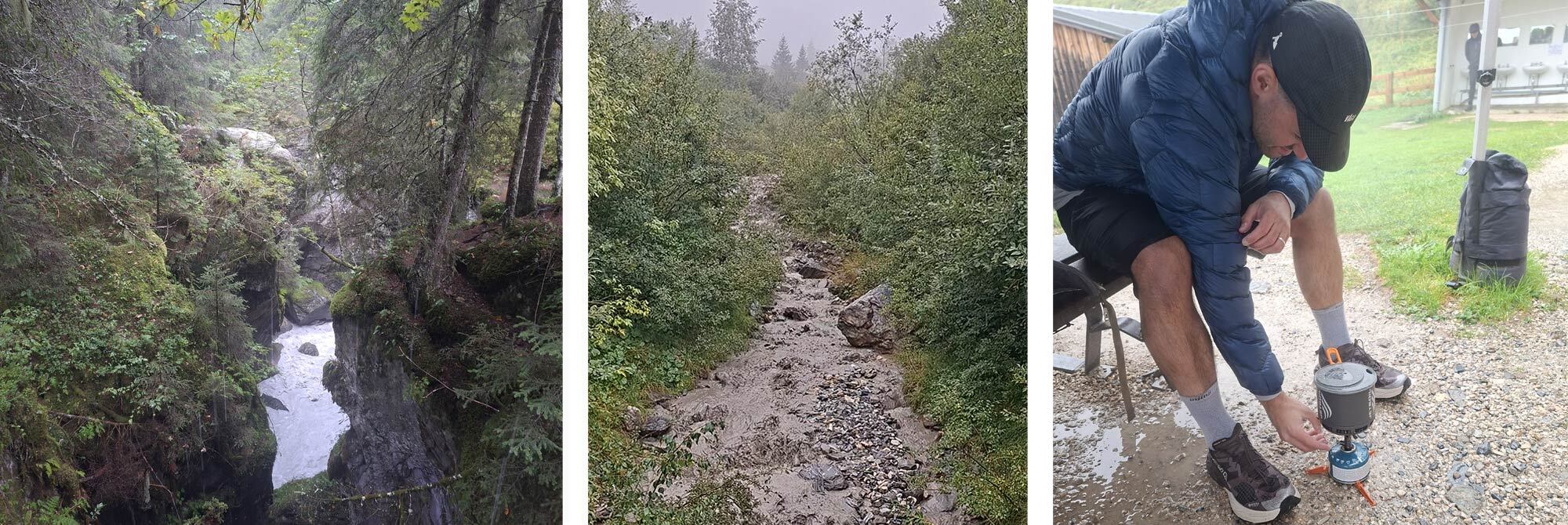
Here we learned a lesson on working as a team and not assuming anything… I was ready to leave the Refuge first and was keen to get going as I was cold, so I started to head out, knowing Mat would always catch me up on the climb; however, the path took a sharp left turn shortly after leaving the refuge, and as I had the map on my watch and was with other hikers at that point too, this was an obvious left turn; however, Mat, following merely a couple of minutes later, alone and without the navigational aid, missed the left turn. I continued to climb and kept turning round to see if he was behind me; this happened for a period of time.
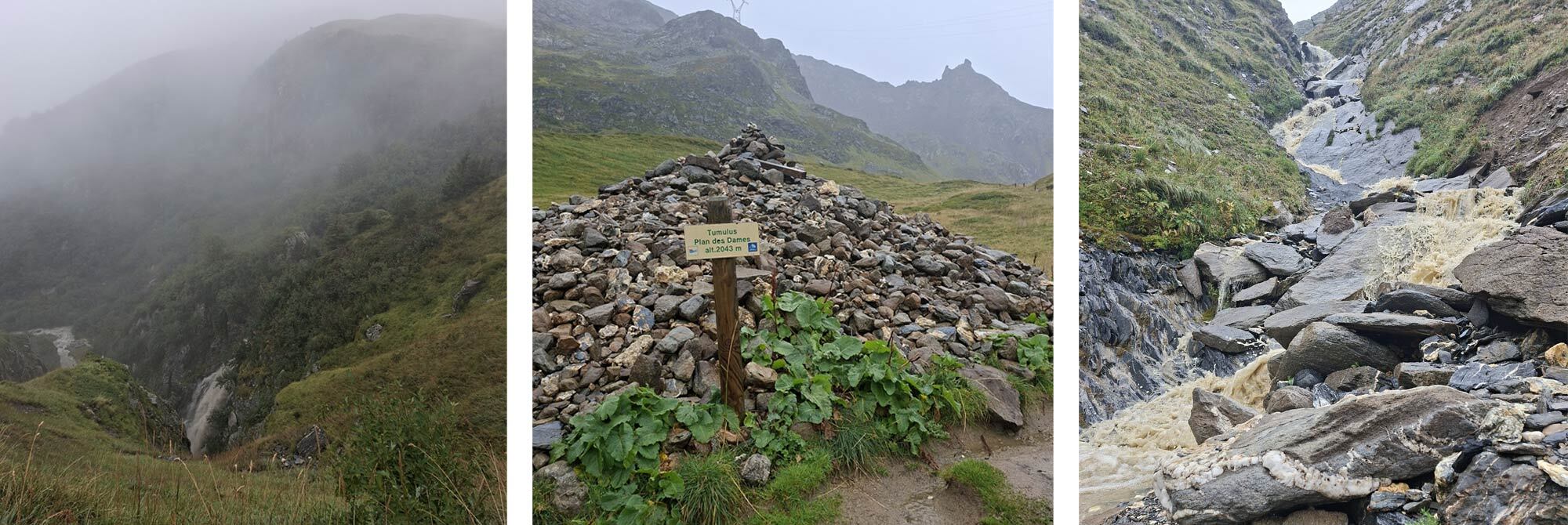
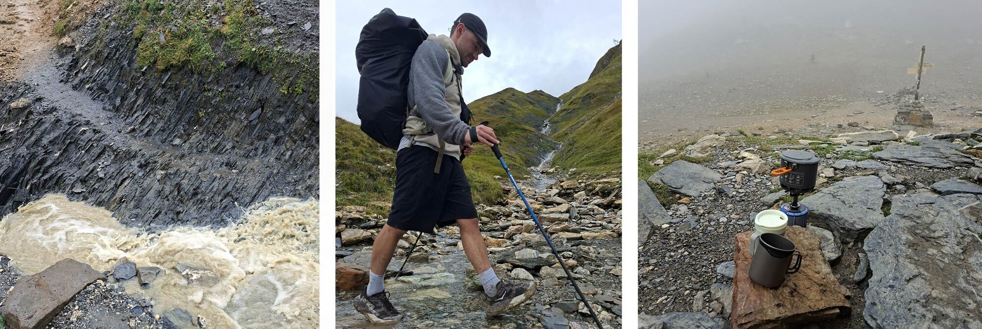
Then I got a phone call asking if the route followed the left turn, as he had taken the straight track, only to realise a little further that it did not seem right. Good job we had a phone signal. Confident that he was now ascending the right track, we continued to climb alone and finally regrouped just below the col. The track was quite ‘interesting’ on the climb, with stream crossings which had increased in ferocity due to the rain of the last 12 hours. There was little view from the Col, but a warming hut provided some shelter from the wind that was funnelling through the gap. From here there was a final ascent of about 150m to Col de La Croix du Bonhomme.
This would have been our turn had we been staying up high and following the ridge towards Mottets for a wild camp, but we acknowledged that dropping down to the hamlet of Les Chapieux was the right decision. As we descended, the cloud cleared and the rain abated, but I was pretty wet – my Montane Cetus Petrichor jacket had kept the rain out for most of the day before throwing the towel in and absorbing like a sponge!
Les Chapieux has a vast camping area, an Aire du Bivouac with an honesty box, water and toilets – basic needs taken care of. There are a few cafes and restaurants, but after setting up camp, I was keen to get out of everything wet and hop into my sleeping bag for a warm-up. I must have got comfy and dropped off for a lengthy power nap, making up for the lack of sleep the previous night, waking with just enough time to put on my dry waterproof trousers and a down jacket and go in search of food. I arrived just in time to get a wood-fired pizza, a beer and 20 minutes of Wi-Fi as they closed around us. I think day two will go on the record as ‘the wet one!’
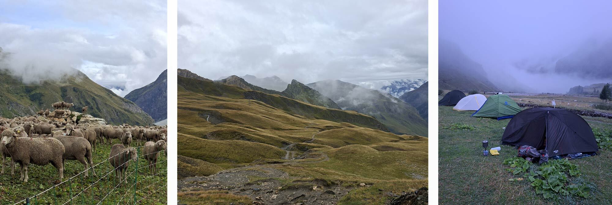
Day 3 - Les Chapieux to Courmayeur: 23km, Elevation: 1355m, Descending: 1609m
As we were a little off our original route, we opted to take the bus from Les Chapieux to la Ville des Glaciers, thus avoiding a stretch of tarmac and adding mileage to our already long day ahead. Buses run at thirty-minute intervals, and a ticket needs to be bought in advance for an allotted time, so we booked the 8.30 bus and squeezed ourselves, including packs, into the remaining seats as the bus was already pretty full.
The bus dropped us at the start of the track that ascends the Col de la Seigne. A short deviation off the track after about half an hour tempted us to the Refuge des Mottets, with the most welcoming huge coffee pot sitting on the stove.
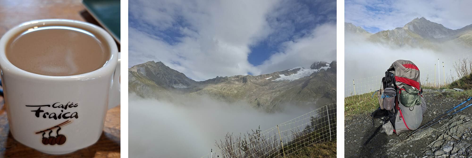
As my shorts were still wet, I started the day in my Mountain Equipment Zeno FZ waterproof trousers, which were surprisingly comfortable without tights or trousers underneath. As we ascended through an ever-changing cloud inversion, the temperatures started to rise and the dampness from the previous day finally started to get left behind. I switched to shorts on the ascent, which soon dried in the warm sunshine. From the Col de la Seigne, we headed northeast over the border into Italy and descended towards Refugio Elisabetta; this is where most people stop on day 3, but we could not get booked in here, so we planned to continue onwards to Courmayeur.
We had plenty of day left, and a lunch refuelling stop at the stunningly beautiful Lac Combal was just what we needed to power us up the next 500m incline. Marmots on the hillsides in this area were a great distraction as we headed onwards and upwards. The change of ground was kind to the feet as it was softer, greener and less rocky, and the views to our left of Mont Blanc were stunning as it came in and out of view. The lighting was magical too, made more dramatic by the dark cloud backdrop that was heading our way. We sensed its imminent arrival as the wind increased and decided to don the waterproofs again.
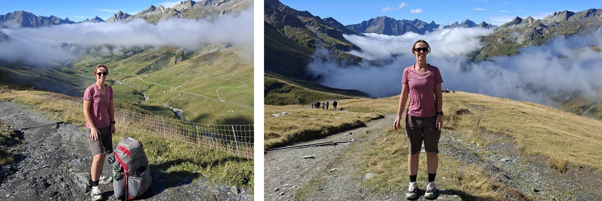
We continued to head into the wind and rain, and the added hailstones were just a reminder of how quickly weather can change in the mountains. We followed a couple of hikers from Belgium with their bright green rain covers that guided like a beacon, catching them and some Americans as we approached the final Refugio of the day; we said our goodbyes as they were all detaching themselves from their packs and preparing for a night in the Refugio, wishing us well on our onward journey to Courmayeur. No one relished the task ahead of us at that time of evening.
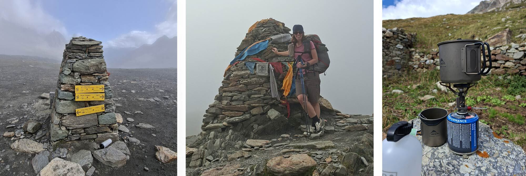
We continued a deserted trail as it criss-crossed ski runs and under sleeping chair lifts with the knowledge that we were going to have to descend to the valley floor, a very long way below us! The track was well prepared with switchback corners and steep steps down to lose elevation quickly, but the repetition on tired legs was hard on the knees. Even using trekking poles, I felt my left knee becoming sore, especially on big steps.
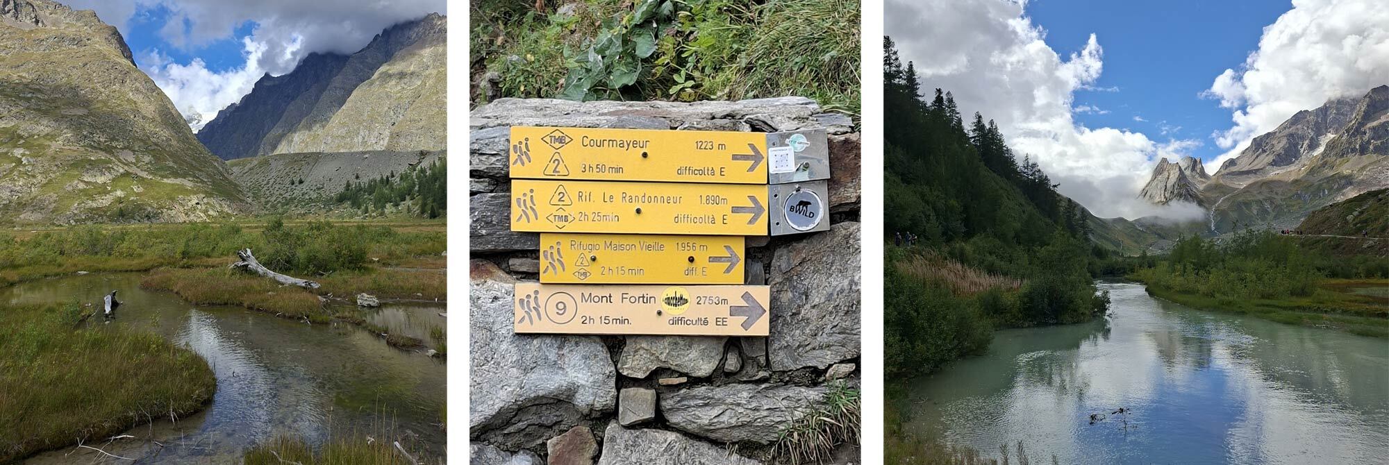
We started to lose light, and as we approached the last few corners, the bells from the numerous churches in Courmayeur started chiming seven, not in sync with each other, but regardless, the sound of the village was very welcoming. The path dropped us directly into the wonderful old town with tiny, cobbled streets and historic buildings. It was a shame not to have more time to explore this part of town. We found the bus stop at the same time as the bus raced past, with no intention of stopping! It turned out this was the last bus, and we needed to then head to the new town on the other side of the river to find alternative transport options to get to the campsite at Grande Jurasses. We managed to hook up with a couple of other hikers heading to the same site who were waiting for a taxi. We negotiated our fee to join them and arrived in darkness - tired, hungry and in need of a huge recharge, both us and our devices. Day 3 was certainly the long one!
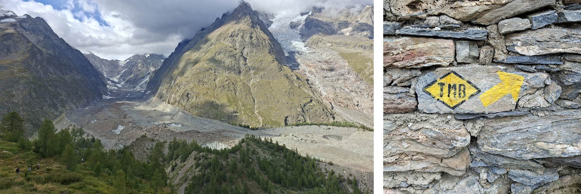
Day 4 – Rest, Recharge and Refuel
With our power banks charging overnight in the ladies’ shower room, my phone was dead, as was my watch, so I had no clue what time of day it was when I woke up. I could hear tents being packed away, but this could have been any time from 6 am, as many hikers were keen to get on the trails early to avoid the mid-day heat. It turned out I’d slept until about 9 am, which was wonderful. I ventured out and regathered the electronics and started to power up my watch and phone. I enjoyed a shower and a large coffee at the tent. My left knee was still objecting to bending. It was not painful to walk, just very reluctant to bend, making getting in and out of the tent tricky.
The Campsite has a lovely café incorporating a small shop for all campsite essentials. We headed in to enjoy another coffee and some wonderful fresh croissants. The family that runs the site were incredibly friendly and helped us with coins for laundry and advised on the local bus route into Courmayeur and route options to rejoin the TMB route the next day.
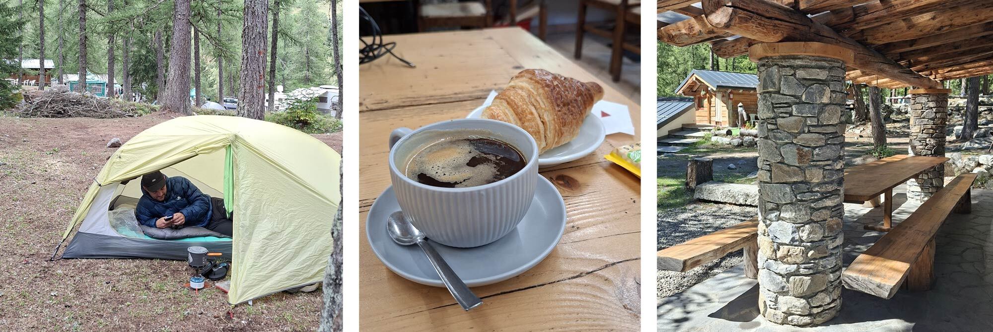
After laundry chores were complete, we decided to head into Courmayeur on the bus for a mooch, and we were both craving a good Italian Pasta meal. I guess we were calorie deficient after our big day yesterday. It turns out the bus timetables are a bit vague and don’t always run on time. We saw our bus head up the valley and had to wait about 45 minutes for its return; thankfully, it was warm and sunny, and there was somewhere to sit at the bus stop.
It also turns out that finding a good pasta restaurant in Italy is not as easy as we first thought, but the wait was worth it! There was a good atmosphere in Courmayeur as it was hosting the start of two TorX races – only 350 or 450km of trail running around the area; it certainly put our trip into perspective!
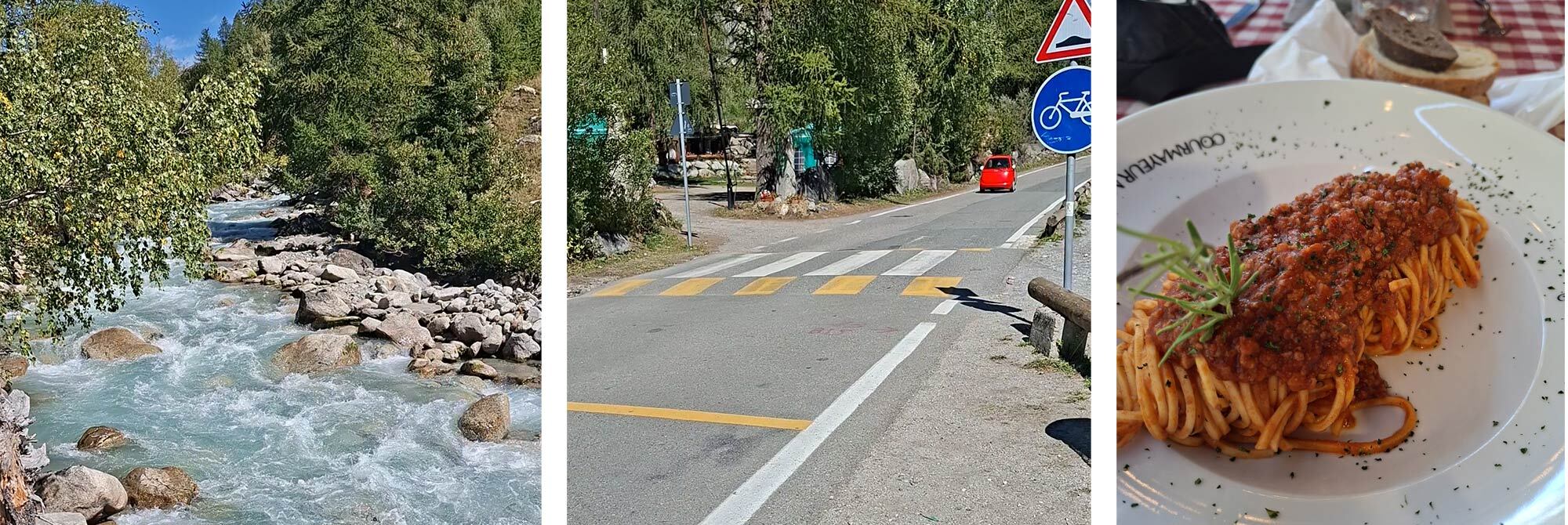
We caught the last bus back to the campsite and topped up the carbs with a pizza from the renowned campsite wood-fired pizzeria. The pizzas were named after all the family members, so I opted for one whose name I can’t recall, but with gorgonzola, pear and walnut… washed down with a couple of glasses of the local red, followed by an early night. Refuelled and recuperated, and ready for the days ahead.
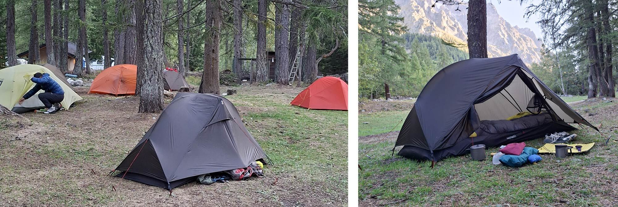
Day 5 – Camping Grande Jurasses to Refugio Elena: 15.2km, Elevation: 1082m, Descending: 630m
We opted to take a steep climb from the campsite to rejoin the route, as opposed to taking a bus to Courmayeur. After crossing the river, the track zig zagged as it gained height and passed small farmsteads on the way. We joined the TMB route shortly after and traversed the hillside with views of the Grande Jurasses that we had camped below, now in full view. The very popular Refugio Bonatti was a welcome stopping point at lunchtime with its huge sun-drenched deck and stunning views.
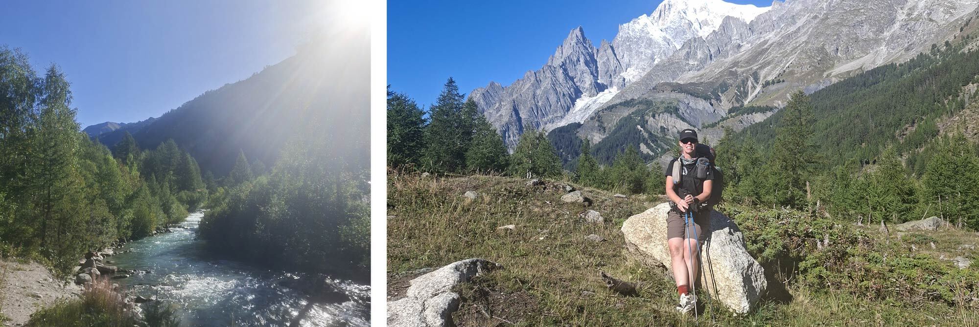
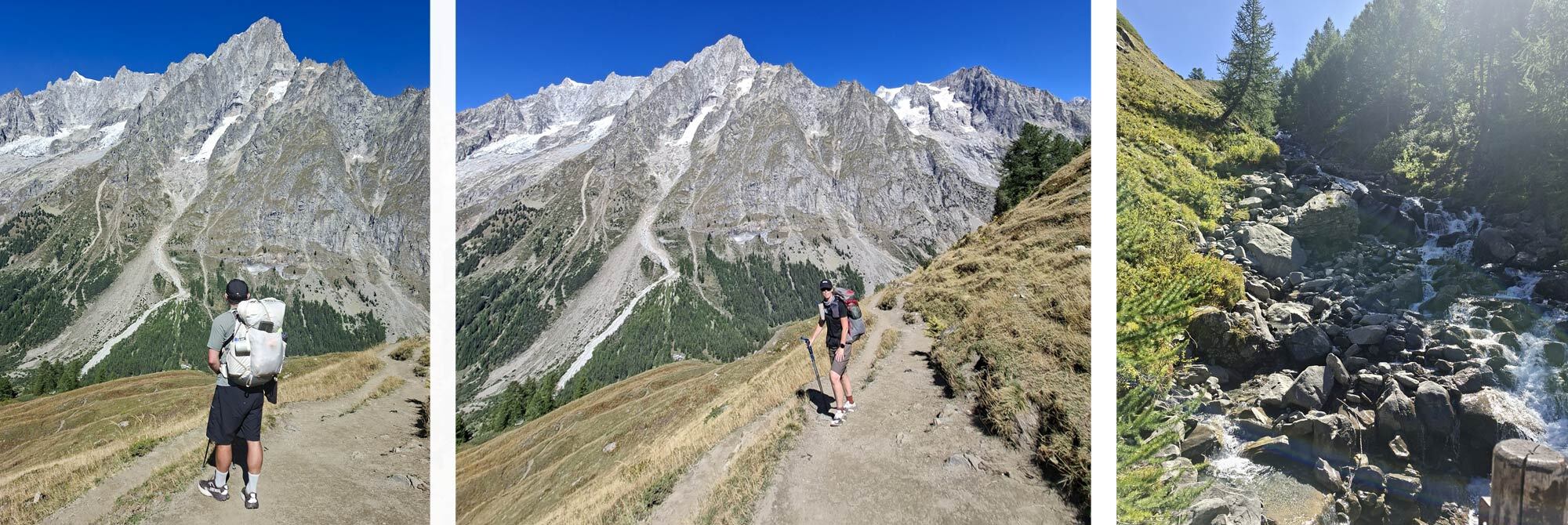
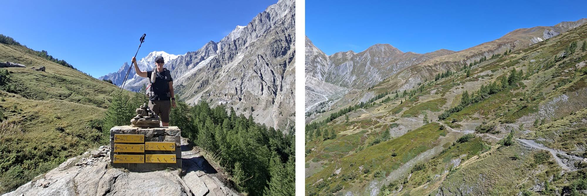
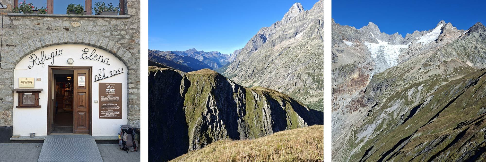
The afternoons hike continued along the ridge with groups of donkeys adding to the amusement before slowly descended to the valley floor conveniently passing the Chalet Val Ferret with large grass area filled with Italian families enjoying a Saturday afternoon in the sun. Deck chairs a plenty, and cold drinks to match helped to rehydrate on such a warm day and prepare us for the final ascent of the day to Refugio Elena sitting halfway up the Grand Col Ferret at 2062m. This was our only bricks and mortar accommodation on the tour and my first experience of a Rifugio!
Rifugio Elena caters for around 120 guests and has a large basement to house all the boots, bags etc, so a major unpack was needed to select only the items I’d need to bring into the Rifugio. After checking in and being allocated our room (shared with about 40 others), we found our bunk beds and met the two Canadian ladies who were our closest neighbours. Showers were limited to 15l of water for a token – thankfully I was given the head’s up on this, so was super-efficient, rationing water and not getting caught with shampoo in my hair after the water stopped.
A large bar became a sociable space as more people congregated before dinner. We joined the Canadians for beer and cards before we were called for dinner. Dinner was a strange concept that I mis-understood. It looked as though there was a choice of meal, either Pasta Bolognaise or a roast dinner. It turns out you get both! Followed by a Panacotta pot. Seating was on trestle tables in an Italian Hogwarts style, that once you were in, there was no room to move.
Lights out in the dorm must have been around 9pm as it was pitch black when we retired to bed and snoring was already in full effect. Despite wearing ear plugs, the noises of 40 people sleeping in creaky wooden bunk beds and all their accompanying bodily noises did not make for ideal sleep conditions. Also, there was no fresh air in the stuffy room – far from ideal. I ventured to the bathroom at around 3am, very mindful of the dark and how to retrace my steps back to bed.
At 5am an alarm struck up and happened to wake pretty much everyone in the room except for the intended sleeper. One of the Canadians got out of bed and followed the noise to prod the snoozing guest; however, she got disorientated in the darkness on her return to bed and hopped into the wrong bed! I fell into a deep sleep at this point and was totally oblivious to the rest of the room waking for breakfast from around 6am. The first I knew was when Mat woke me at 7.30 to see if I was getting up for breakfast! The breakfast was grim, as was the coffee, so I wish I’d had another 30 minutes kip.
Day 6 - Rifugio Elena to La Fouly: 13.6km, Elevation: 612m, Descending: 1087m
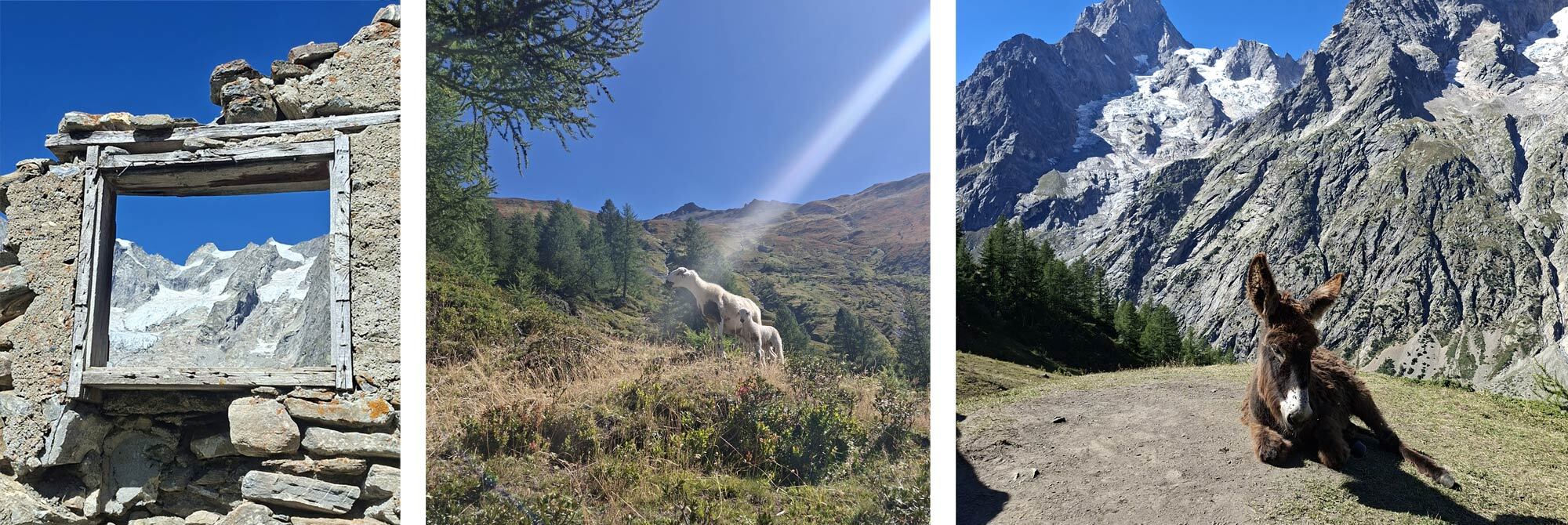
The 500m ascent to complete the Grand Col Ferret was a baptism of fire straight out of the Rifugio. The Col at 2537m also marks the border between Italy and Switzerland. The stunning descent with grazing sheep stretched out towards the valley bottom, and a large grassy plateau invited us to stop for an early lunch, which seemed to set a trend as others pitched up around us.
We bypassed a lovely-looking café as we had just eaten, but the second café along the valley bottom was more of a temptation and our first experience of Switzerland’s higher prices. We also short-changed the waitress as we had not realised the bill was in Swiss Francs and not Euros.
The final part of the route followed the river, which was only about 25% full, but evidence of the wider river was obvious by the expansive riverbed and debris pushed to the riverbanks. Arriving in La Fouly, we restocked at the supermarket and sourced gas at the outdoor shop before heading to the campsite. After showering, I decided to hang my towel to dry, at which point I realised that I was missing my trekking poles.
I tried to remember when I had them last and recalled having them in the supermarket but then had left them and my pack outside the outdoor shop with my food shopping. I had no recollection of picking them up. We retraced our steps, but the shops were shut, so I had to accept that they were probably picked up by some lucky TMBer who may have thought they had been deliberately discarded, which is a common occurrence as people leave the trail, but not likely for a pair of Black Diamond Carbon FLZ poles. I resigned myself to the fact that I would need to buy new poles in the morning, at Swiss prices too!
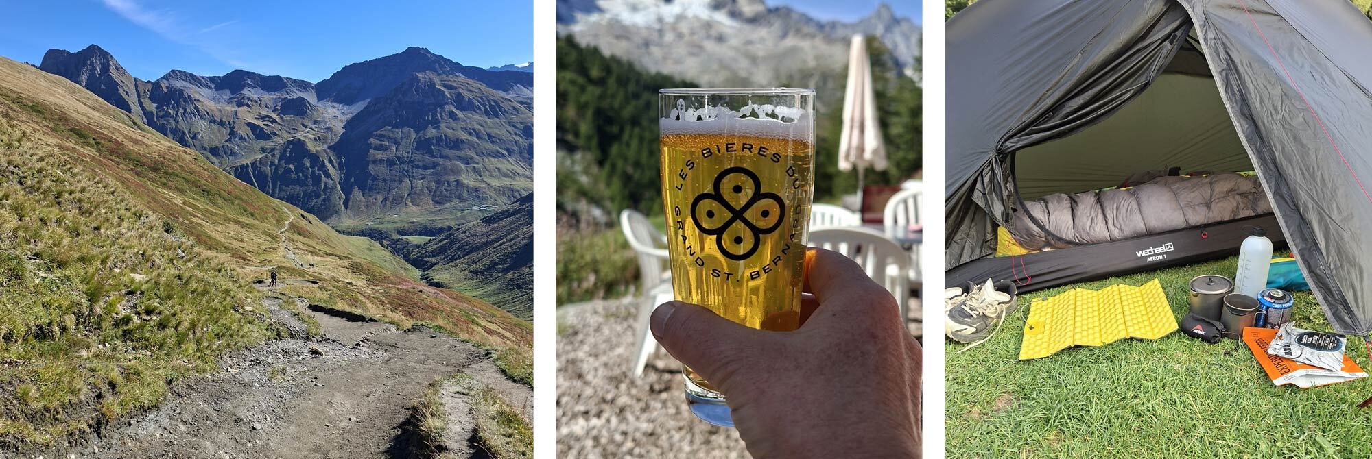
Day 7 - La Fouly to Lac Champex: 18km, Elevation: 672m, Descending: 781m
We detoured back into the village to purchase a pair of poles first thing, but when I enquired at the outdoor shop, I was very relieved to find they had been handed in. Thank you to that kind human. I set off with a spring in my step and a smile on my face. Day 7 was a breeze compared to some of our previous more challenging days.
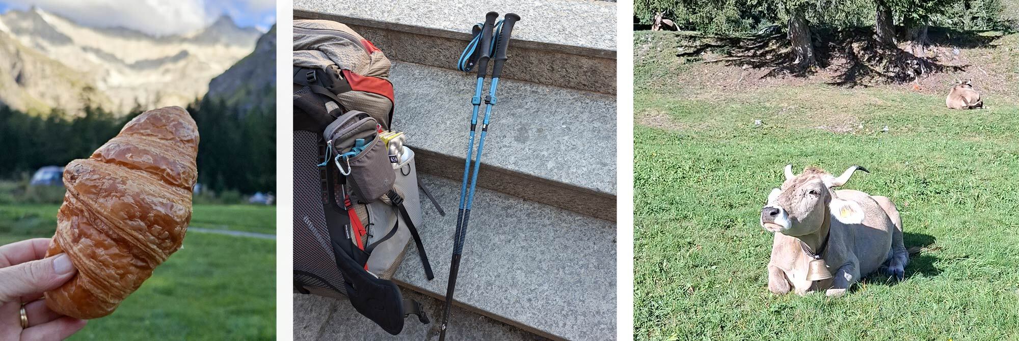
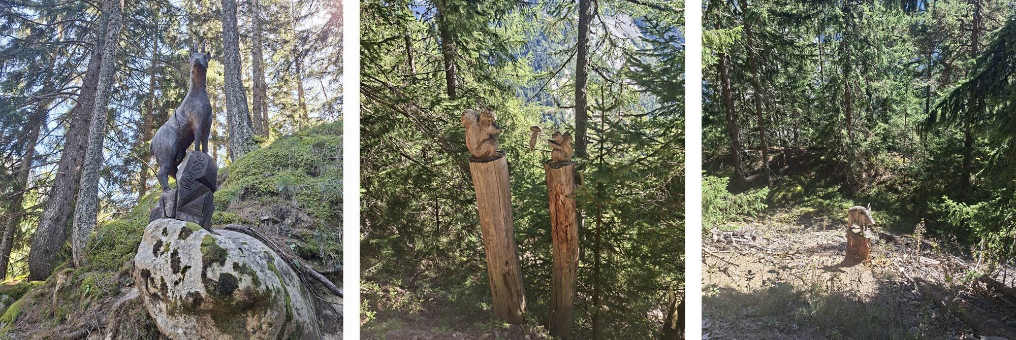
The first two-thirds of the day were predominantly downhill, linking chocolate box villages. Their beautiful wooden houses, colourful flowerboxes and even more elaborate log stores were a sight to behold. Grazing cattle in lush grassy meadows were tuneful with their orchestra of cowbells. The final third was a steady forested incline to Champex Lac. The incline was studded with carved animals, which was an amusing distraction.
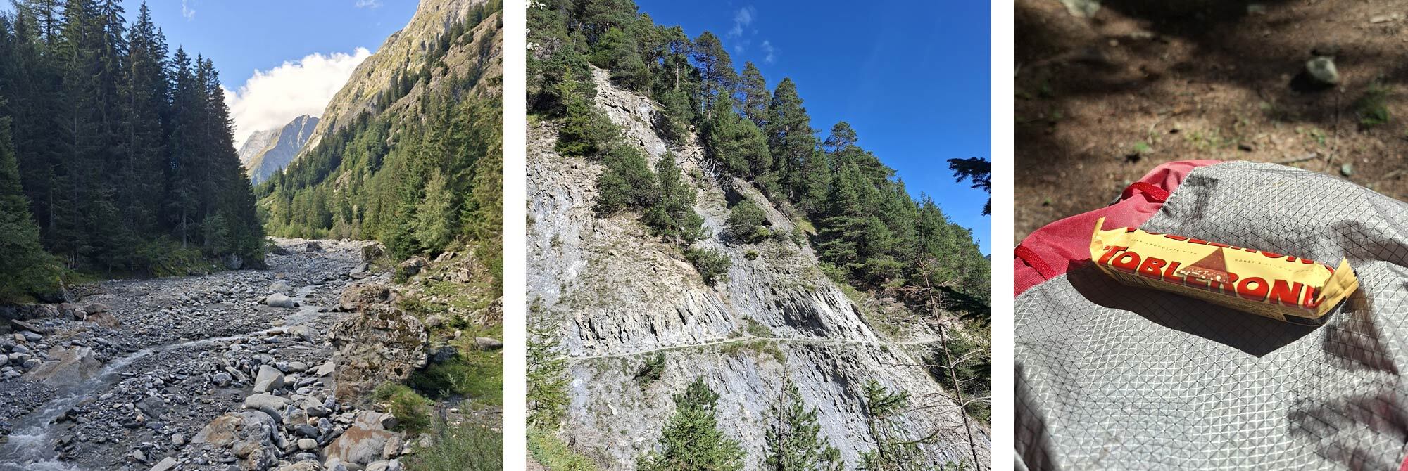
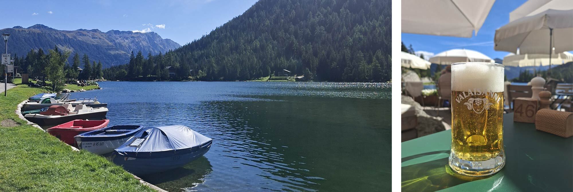
Champex Lac is a slightly more touristy village, with a tranquil lake, bars and cafes. Arriving mid-afternoon in the height of the sun, we took a chill in the lake, up to our knees anyway - it was exceptionally cold, fed directly from the glaciers above. We rehydrated with a cold beverage before doing a supermarket shop for some fresh food for tea and a restock on snacks for the next few days and purchased an obligatory Toblerone!
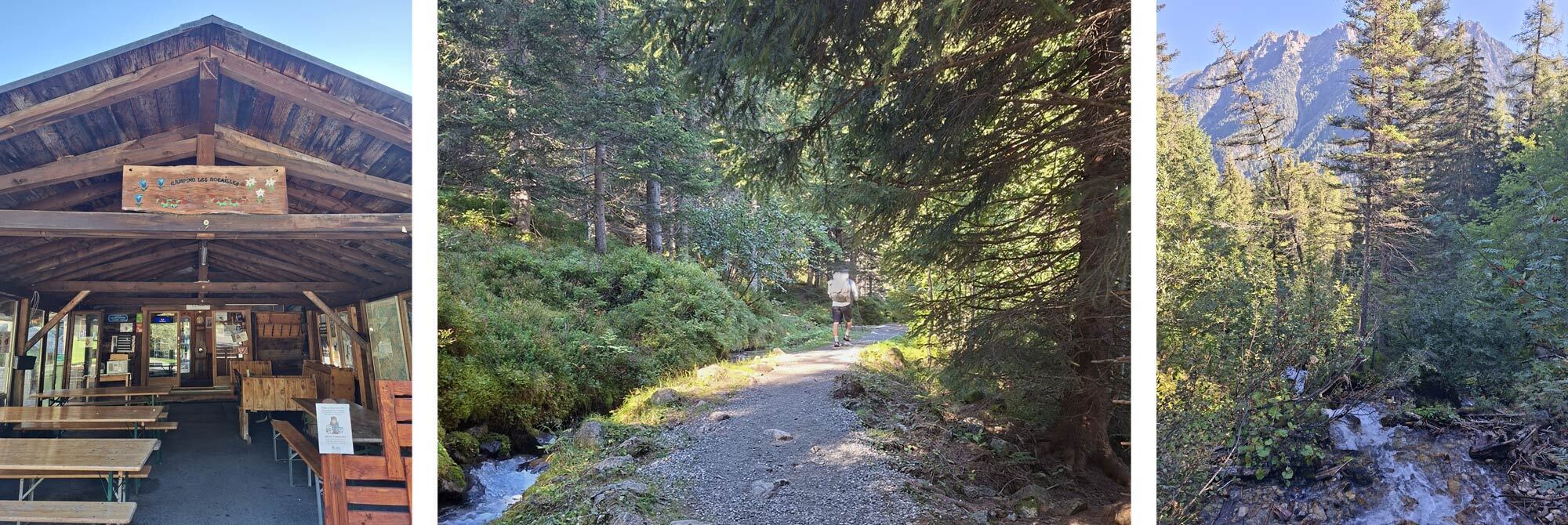
It is very easy to spend a lot of money in Switzerland with not a lot to show for it! Restocked, it was then only a short walk to Campsite les Rocailles at the end of the village - a small but well-equipped site with much-needed laundry facilities and power recharging points, as well as nice flat terraced areas for TMB campers.
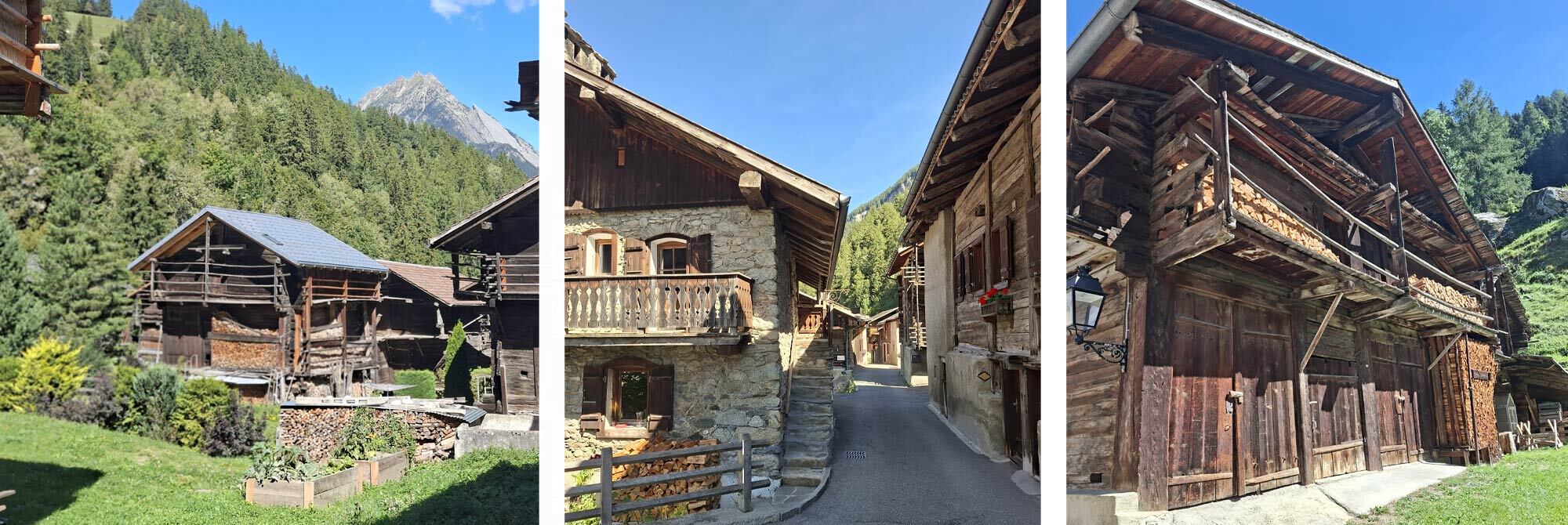
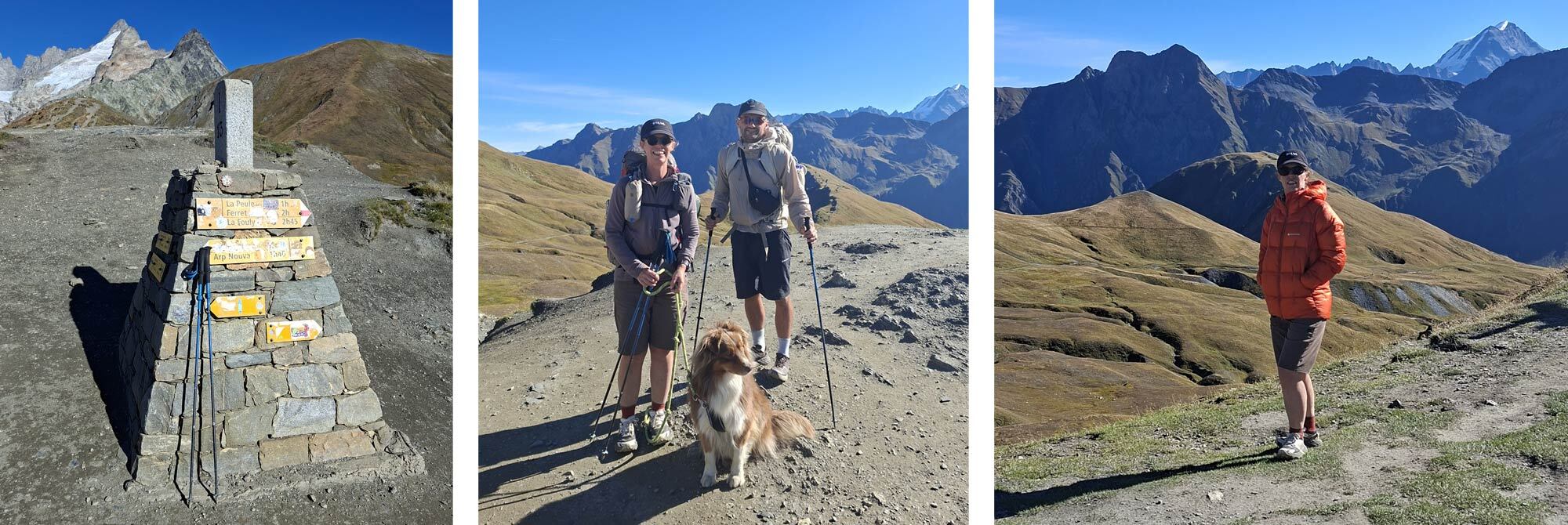
It was nice to cook, get cleaned and sorted for tomorrow, which would take us to the highest part of our route. Once the sun went down, the temperature dropped and my Montane Apex 900 Hoodie came into its own, providing a light but warm down layer for wearing around camp. The high fill power meant it packed down into a small dry bag and compressed for storage, yet a good shake lofted the down to fill the baffles.
Day 8 - Champex Lac to Trient via Col de Fenetre D’Arpette: 14.6km, Elevation: 1259m, Descending: 1400m
The day started early with a noisy neighbour having a snack at around 3 am. Initially, I thought it was either Mat pitched to my left or the French lady pitched to my right, with a case of the midnight munchies, eating crisps very loudly… When I woke in the morning and got out of my tent, I realised it wasn’t my neighbours, but more likely a four-legged visitor in the middle of the night who had taken a pack of crisps from my vestibule and ripped it open, scattering crisps all over the grass. We thought possibly a rodent, or a fox. As we packed up and prepared for the day, Mat realised he too had been visited by the same visitor, but the consequences were far greater than a packet of crisps; but that is Matt’s tale to tell.
Today’s TMB route turned onto an off-road track virtually a few metres from the campsite, and it slowly and steadily headed up a wide valley where the forestry gave way to a big meadow with wildflowers, and as we gained elevation the track turned rocky and got steeper. Bright sun, no breeze and the unpredictable landscape were all factors that made progress steady and considered. I had plenty of water but was aware that there were no opportunities to refill the higher we got.
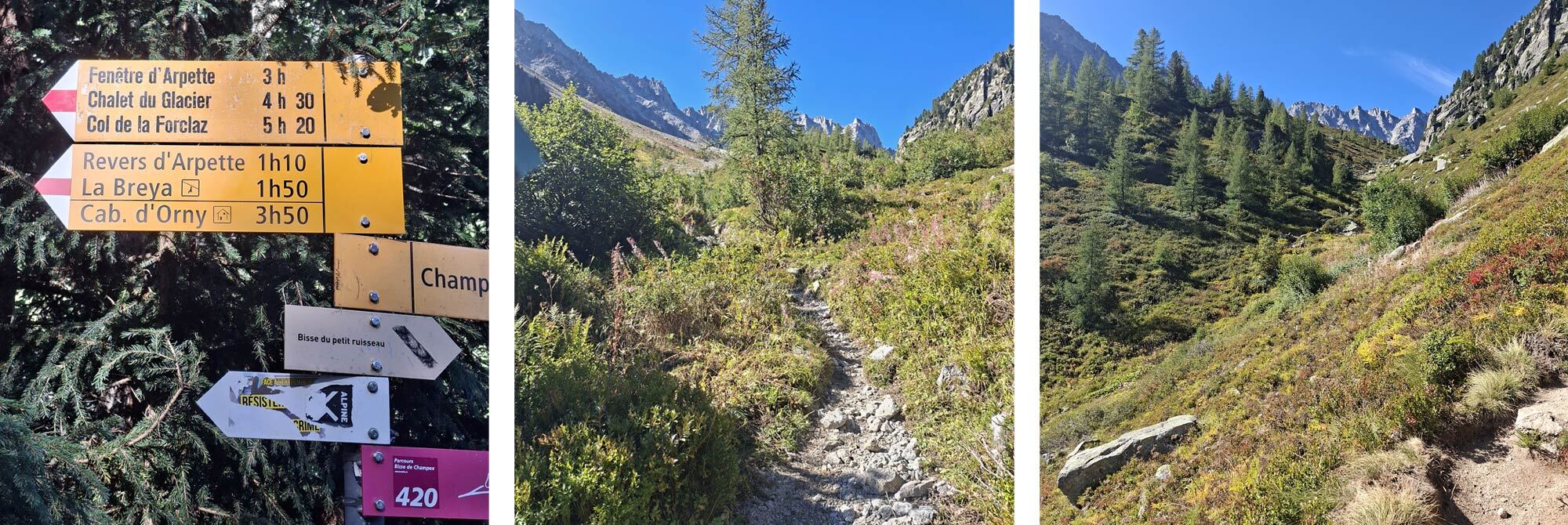
After a stunning lunch stop, looking back down the valley we had spent all morning navigating, we pressed on, up an almighty boulder field, with rocks the size of cars and the gaps between them likely huge leg swallowers. We followed red and white markers painted on rocks every 10 metres or so and navigating a safe route between these markers was a skill and needed a huge amount of concentration, strength and determination. Trekking poles were certainly a help to keep the body balanced and upright, but sometimes they were equally a trip hazard and hands on the rocks, and a low centre of gravity, was a safer option.
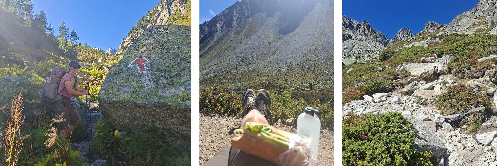
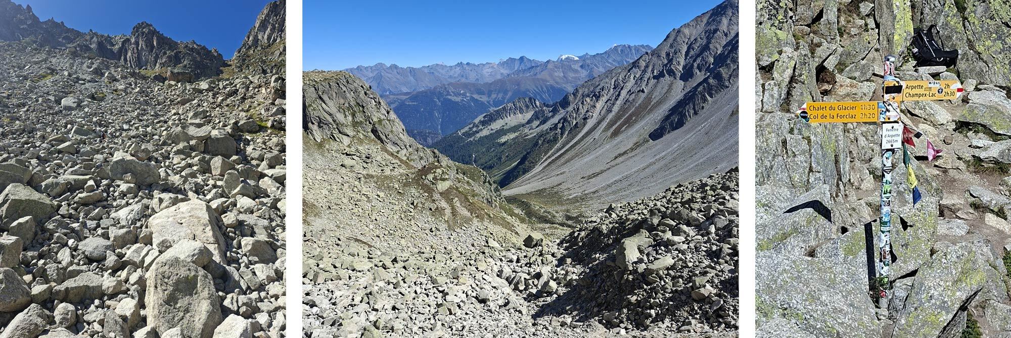
Relief from exiting the boulder field was soon short-lived as the final ascent was clocked. A motivational pep talk to muster some energy and determination to conquer the last steep pitch must have done the trick, as we set off with grit and positivity, and the summit was soon within reaching distance. I was so elated on reaching the top and must admit that was probably the hardest ascent I had ever done, physically, technically and mentally draining. Thanks, Mat, for the football-style pep talk that helped keep my head in the game!
From the Col de Fenetre d’Arpette at 2665 m the views were incredible and well worth spending a little time whilst recovering from the ascent to absorb and enjoy. The descent down the other side towards Trient was tricky in places, with large rocky sections that required a bum-slide or two when legs were just too short to step down and some steep, loose sections also put me on the floor when the ball-bearing stones gave way under me, but nothing was as technical as the climb up. There were also more water crossings on the way down, so it was nice to freshen up and refill near-empty bottles. Chalet du Glaciers appeared like an oasis, and the chilled Coca-Cola was just the sugar hit we needed before striding out the last 5km or so to the small village of Trient.
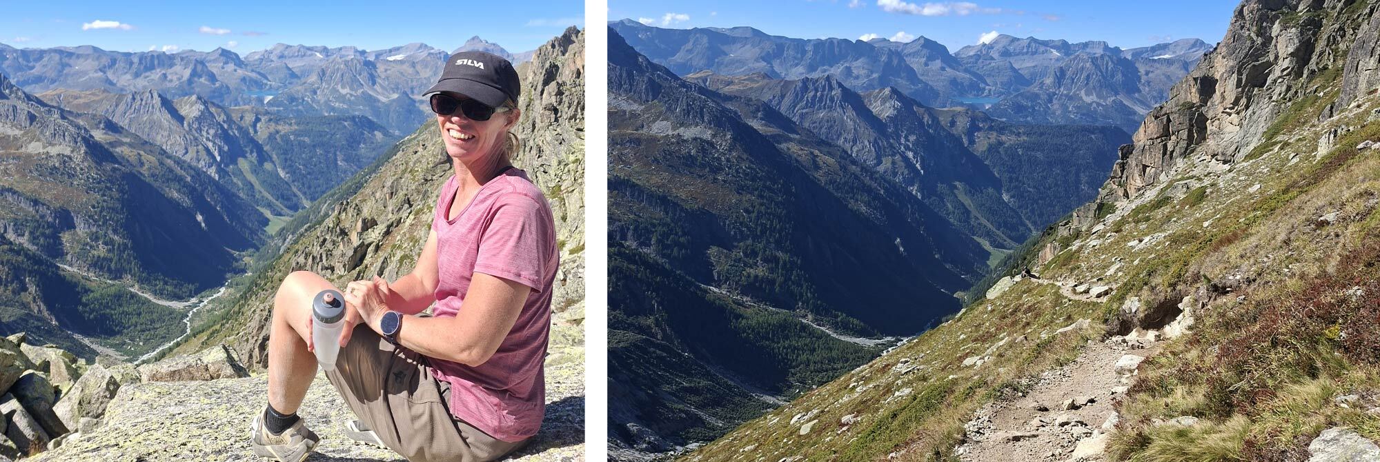
There is very little at Trient; the sloped campsite Le Peuty was quite busy and a little uninspiring, despite its location. Most amenities, shop, showers, etc close at 7 pm, but luckily the pizza truck, which also served cold beverages, was open until 10 pm.
Day 8 was certainly ‘The toughest one yet!’
Day 9 - Trient to Tre le Champ: 13.5km, Elevation: 1163m, Descending: 1096m
After the previous day’s exertion, we were in no rush to leave camp on day 9. However, the shop that had been open the previous evening did not open on a morning, so there was no option for fresh bread, croissants, etc. I had thankfully grabbed a few items when I checked into the campsite, so breakfast ended up being a small individual box of Frosties with a strawberry yoghurt and a banana.
Mat, however, was relying on resupply in the morning… no such luck! We headed out of camp a little undernourished, and the route immediately climbed - a long rocky track which turned to zig-zags on the final approach to Col de Balme and, more importantly, the Refuge du Col de Balme with its bright red paintwork, like a beacon. By the time I reached the Refuge, Mat was already tucking into a large plate of food, which was no wonder, as I think he was like a car running on empty with the fuel light on since he’d set off! I enjoyed a fabulous coffee and a bowl of fruit crumble – this is what happens when you have sugary cereal for breakfast; the sugar cravings continue all day!
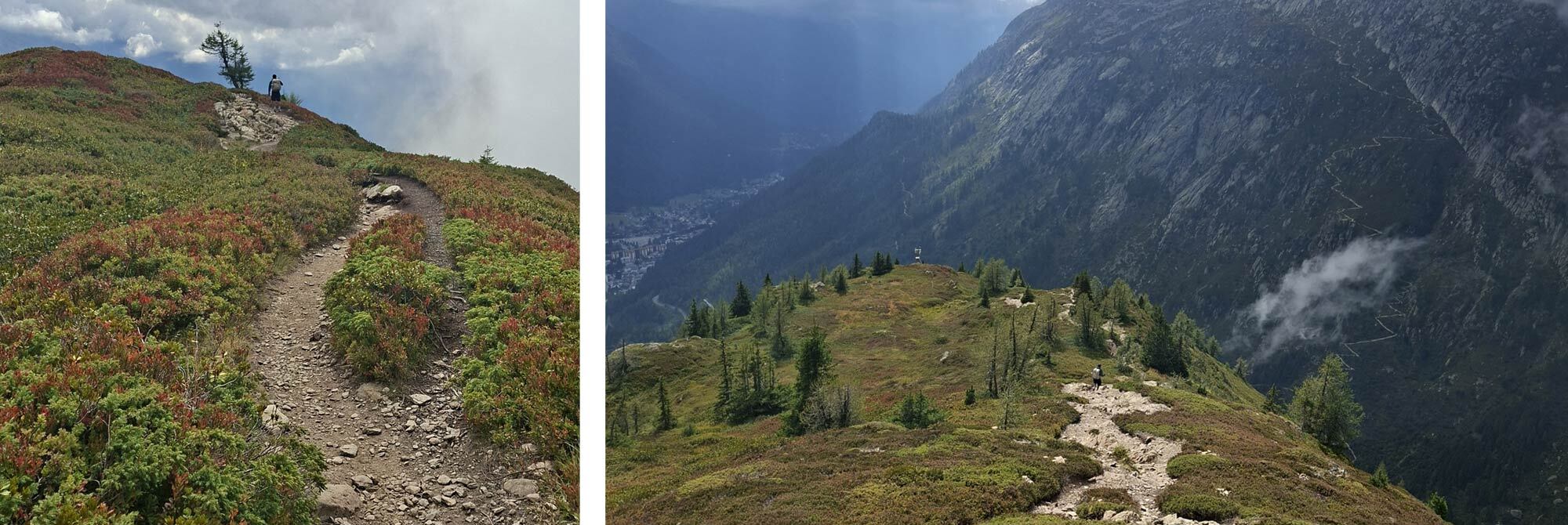
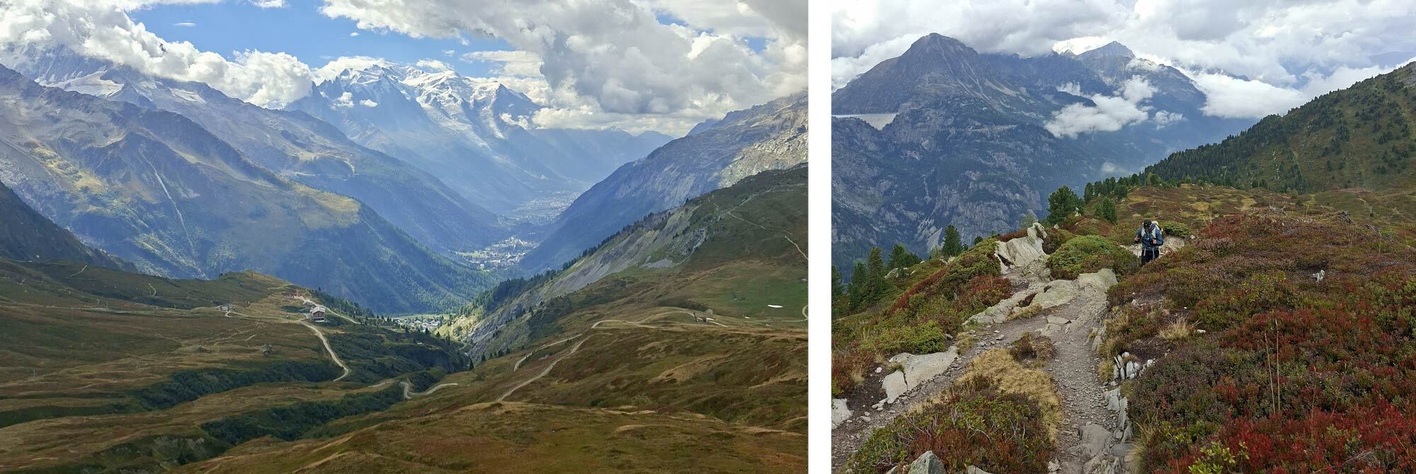
With Mat’s hangry episode over, we dropped from the Col du Balme to Col des Posettes, a wide grassy area with farmsteads and tracks going off in numerous directions. From here we got good glimpses of Mont Blanc again, but from the opposite side to when we saw it on day 3 in Italy. The clouds were gathering, so sightings were few and far between, but the lighting was incredible. From Col des Posettes we opted for the scenic route variant to the summit of l’Aiguillette des Posettes. I think this may have been one of my favourite sections of the TMB.
The ridge was covered in bilberry bushes, and the contrast with the white rocks was beautiful. The sunlight and attempts to rain made for an ever-changing dramatic light. The valley floor to our right was so far below, yet a few metres to our left and we could see into another valley. If we turned round and looked where we had come from, we could see the large dam at the end of Lac d’Emosson, a landmark we had seen many times over the previous days. The ridge continued towards our destination, and we finally reached the Auberge La Boerne at Tres le Champ just as the heavens opened.
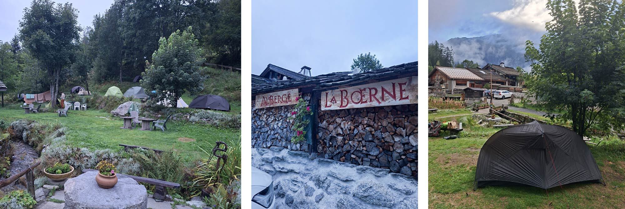
The 18th Century Alpine Auberge has a small beautifully terraced garden and permits hikers to camp there, in return for dining and breakfasting at the Auberge. Local by-laws restrict camping before 7 pm, so we were in no rush to move. We checked in and were booked for the second sitting of dinner at 8.15 pm; I think Mat would have his second hangry bout of the day waiting that long for dinner. Thankfully, some guests had cancelled their booking, so we were moved to the first sitting at 7 pm.
Showered and changed for dinner, we joined other hikers for a feast of fresh green salad (I’d been missing my greens so could have devoured the whole bowl that was meant for 8 of us); fresh bread and local cheese. I was in heaven! Then a chilli with more bread, followed by banana cake. Full to the gunwales, we had to vacate the dining area to allow for the second sitting, and venture outside to pitch our tents in the rain and dark. Mat and I were pitched either side of the loudest camper we’d encountered on our whole trip – a very loud snorer on the crinkliest of mats – even the babbling brook was not loud enough to mask his snores!
Day 10 - Tres le Champ to Lac Brevent – The Ladders Day: 18.5km, Elevation: 1712m, Descending: 796m
Breakfast was served in the Auberge at 7.30 – yes, more bread and cheese on the menu, alongside some strange, sweetened cream cheese to accompany cereal. We picked up our pre-ordered packed lunches which surprisingly didn’t contain bread and cheese! We packed up our tents around 8 am, just as the local tent enforcement heavies arrived and dropped any tents that were still erected! Rules are to be obeyed in Switzerland!
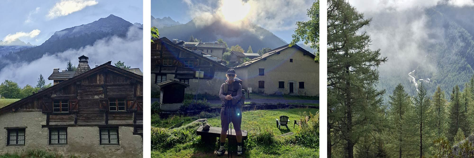
All set, ready for the ladders!!!
I don’t have an issue with heights, but I do have a healthy respect for ladders, and today’s route had an option for a series of ladders. I must admit I was slightly nervous as to how these would be with a pack on. Another Mat pep talk got my head back on track! When we got to the first ladder section, we were following a group of young Americans, who deployed a speaker with a motivational chant to get them in the zone. Another guy following me said he didn’t have a head for heights - I think he was doubting his life choices that day, as we didn’t see him again.
The ladders turned out to be fine. Well anchored, with additional handrails and staples in the rocks for sections joining one ladder to another. One section was causing the American group a few issues, and they were taking packs off and passing items between them; this was coupled with others trying to come down at the same time. There was another option at this point - a steep, long ladder avoided this section, so I pulled my ‘big girl pants’ up and started to climb, not sure how far the ladder extended! It eventually topped out, and my legs were certainly a little jittery as I started walking again!!
A redundant hut formed the backdrop for our lunch stop. The packed lunch was a rice salad, such a nice change from the filled baguettes we’d had most days. My Fjallraven Keb Latt Hoodie had become my go-to item for these hillside stops. It instantly gave me a warm, comfortable hug and stopped me cooling down as we ate. At first, I thought it might be a little bulky for the trip, but it is light and compresses a lot, and I am certainly glad I brought it along.
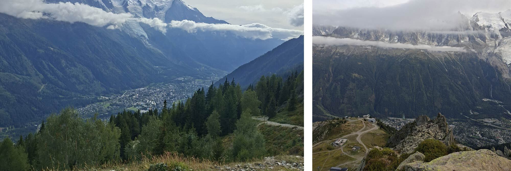
The route continued along the escarpment, ascending and descending as the landscape dictated, with views to our left down into the Chamonix valley. By mid-afternoon we reached the Refuge de la Flegere. I was glad to rest as my left knee had started to remind me it was not very happy, and I was aware that I had started to favour my right leg for stepping down – rest, a good massage and some painkillers did the trick.
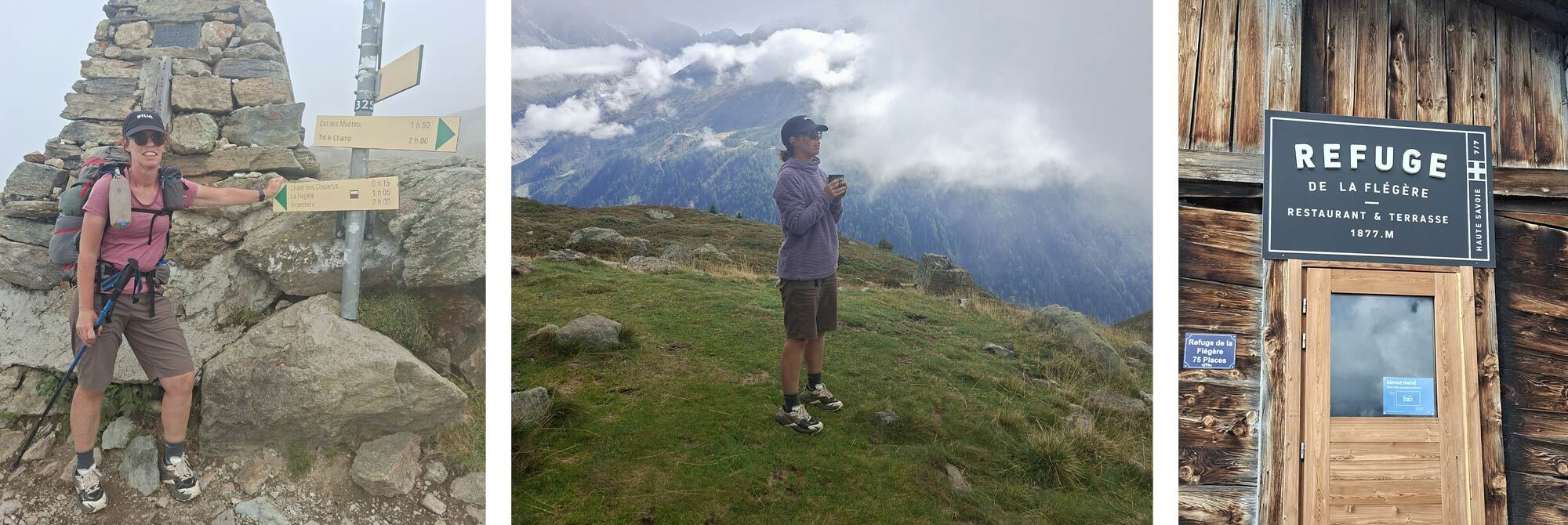
The refuge was also an opportunity to take on more food and fluid as we had big plans for the rest of our day. We were particularly keen to do a high alpine wild camp, especially as we had missed our wild camp on day 2. There are strict restrictions as to where you can camp, and we knew the area around Lac Brevent was permissive. Whilst at the Refuge, I booked our permit, which is free, but a quick and very humorous survey needs to be completed to show you understand the sensitivity of the area’s wildlife, flora and fauna.
Again, camping is not allowed until 7 p.m., so we stayed and rested at the refuge and chatted with other hikers whose day was finishing there. As it turns out, they were the two guests who had cancelled their booking at the Auberge as they had read a review about bed bugs, so they had taken a bus to Chamonix to a hotel for the night. We thanked them for gifting us their early dinner reservation!
Having dropped down to the Refuge de la Flegere at 1875m, quite a bit of elevation had to be clawed back up to reach the Col du Brevent at 2368m. The sun was dropping as we summited the Col, but we still had a little way to go to reach Lac Brevent. This involved another, somewhat unwelcome section of ladders, which slowed progress as poles needed to be stashed, then redeployed. Time was of the essence, and we decided shortly after that descending to the shore of the lake would not be possible in the remaining daylight, so if we spotted a grassy area big enough for 2 small tents then we’d call it a day.
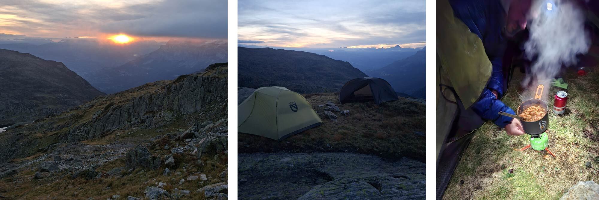
Sure enough, around the next turn, just beyond a family of grazing Ibex, we found the perfect plateau, far enough off the track and looking out over the lake and the mountains beyond. We pitched our tents and pooled our remaining food reserves - some quick-cook pasta, remnants of some pasta sauce, a bit of melted cheese, mixed with a rehydrated Real Turmat Spag Bol- and washed it down with beer that was well shaken as we’d carried it from Flegere. It had been another big day, but it was well worth it to get to the wild camp spot.
Day 11 - Lac du Brevent to the end… 9.5km, Elevation: 76m, Descending: 1362m
The overnight temperatures were certainly lower up high, and I was aware of the full mesh inner on the Aeron reaching its limitations. I was glad I’d brought my Sea to Summit Spark -9 sleeping bag to compensate. We’d set an early alarm in the hope of catching a nice sunrise for our last morning, but the mountain peaks put a stop to the sun making an appearance until we were well on the move. Breakfast was a quick injection of convenient calories, and as the temperature was still chilly, we were keen to just get moving, in the knowledge that Refuge Bellachat was enroute and it didn’t disappoint on the caffeine front. This area would have been another option for a hillside camp but was just beyond our reach for day 10.
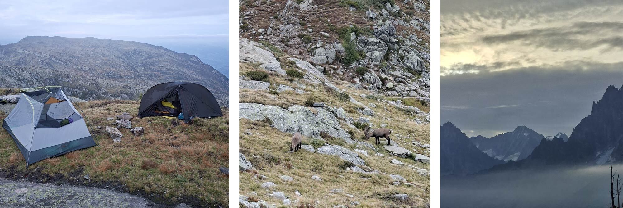
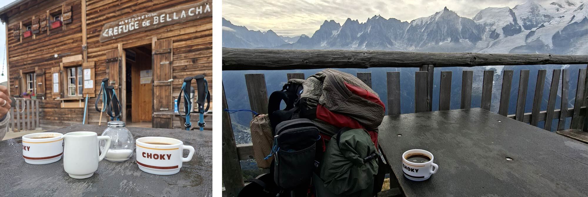
All that was left of our TMB route was to continue along the escarpment in a south-westerly direction towards Les Houches. With less than 80m of elevation, today’s route was pretty much downhill all the way. The terrain was gentle, and the views of the Chamonix Valley to our left, which we had been observing for days, were slowly getting closer. There was a little sadness as Mat and I sensed our trip was coming to an end, and we reflected on our highlights. It seemed a lot had happened since we left Les Houches the previous week. We had certainly been living in the moment each day and looking forward, preparing for the journey ahead, so it was nice to reflect.
As the forestry gave way to some hillside villages, we opted for a path towards Les Bossoms and the hotel where we had stayed the night before we started, which had kindly allowed us to leave a bag for our return stay. We felt we didn’t need to go back to the arch in Les Houches where it all started, so ambled into the Big Sky Hotel around mid-day, marking our official end. 160km through the most awe-inspiring landscapes in France, Italy and Switzerland. 10865m of elevation climbed, accessing amazing views, and 11274m descended to bring us back down for food and shelter!
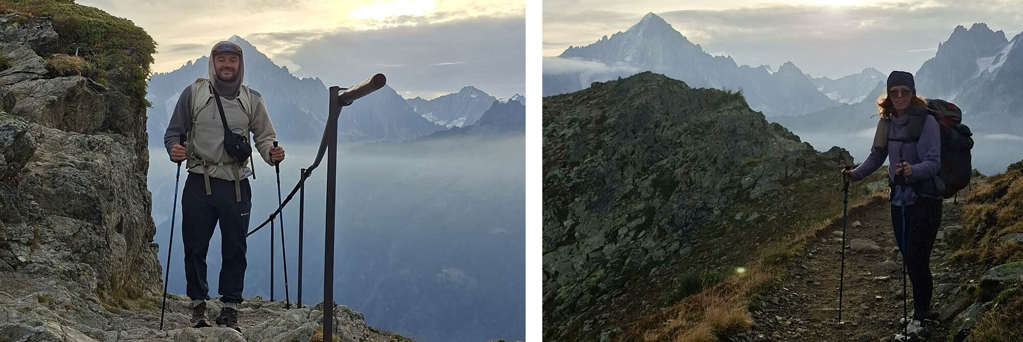
My trusted Osprey Eja pack fit like a glove, and once on my back, we moved as one. Hoka Speedgoat 7s have been the comfiest footwear I have ever used on a multi-day hike. The Vibram Mega-Grip sole was super-grippy. Mine were the non-Gore-Tex shoes – lightweight, breathable and superbly cushioned and coupled with Darn Tough and Smartwool merino socks, this proved to be a good combination - zero blisters, speaks volumes. Black Diamond FLZ carbon trekking poles provided me with confidence and stability on the varied terrain of the Tour du Mont Blanc and were an absolute godsend for the descents.
This has been an amazing trip through three very different countries. Memories that will stay with me for a long time. I would recommend it to anyone who gets the opportunity and who has good knees!
 |
||
|
|
||
| Lois Fife | ||
|
Lois is a keen cyclist and is always plotting a route… either for her next trip or looking for a different way to commute to work! She is regularly seen heading for the hills on a packed-up bike, be it for a quick overnight wild camp, or a longer multi-day adventure. She is currently plotting her route to walk the TGO across Scotland. She is a British Cycling level 2 leader and has been involved with MTB Guisborough encouraging the next generation of mountain bikers. Lois joined Ultralight Outdoor Gear in 2021 and is part of the Customer Service Team. She is always keen to get her hands on new kit to try in the field and share her findings on the website. |
||