Jump to: Our Verdict / Features / Specifications
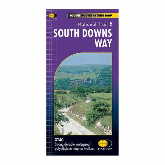
Discover the rolling chalk hills, ancient tracks, and stunning views of the South Downs Way with this comprehensive guide. Covering the full 100-mile route with detailed descriptions, practical advice, and an OS map booklet, it's the perfect companion for exploring one of England’s most scenic National Trails.
Cicerone says:
Guidebook to walking the South Downs Way National Trail, a 100 mile (160km) route between Winchester and Eastbourne through the South Downs National Park, described in both directions over 12 stages. Easy walking on ancient and historical tracks, taking in wooded areas, delightful river valleys and pretty villages. With 1:25K OS map booklet.
Seasons - can be walked at all times of year - this is one of the driest and warmest parts of England
Centres - Eastbourne, Alfriston, Lewes, Amberley, Burint, Exton, Winchester
Difficulty - The South Downs Way is a waymarked bridleway; very few stiles; few towns/villages en route; 12 stages (max length 12 miles)
Must See - Beachy Head, Long Man of Wilmington, Ditchling Beacon, Clayton Windmills, Butser Hill, Winchester
Our Verdict
For nearly 50 years Cicerone have been producing guidebooks on recognised treks, regions, areas and general tips for hikers.
We have used them countless times and they've always provided excellent insight and knowledge that you only get through experience, giving you the edge to make your trip a success and more enjoyable too.
If you're a gram counter you can easily remove sections of the book to take with you making your own ultra-lightweight guidebook with only the essential sections that you require.
- Reviewed by Ultralight Outdoor Gear
Features
- Contains step-by-step description of the route alongside 1:100,000 OS maps reproduced at 1:75,000 for better clarity
- Includes a separate map booklet containing OS 1:25,000 mapping and route line
- GPX files available to download
- The book features a facilities planner that highlights information about facilities and public transport along the route
- Full accommodation listings are included
Specifications
- Weight: 308g
- Edition: Fifth
- Number of pages: 200
- Size: 17.20 x 11.60 x 1.50cm
Contents
- CONTENTS
- Overview map
- Map keys
- Route summary table
- Introduction
- The Downs
- The South Downs Way
- Accommodation
- Practical advice
- Walking companies and baggage transfers
- Getting there – and back
- Using the guide
- Trail Description – Westbound
- Stage 1: Eastbourne to Alfriston (Footpath route via the Seven Sisters)
- Stage 1(a): Eastbourne to Alfriston (Bridleway route inland via Jevington)
- Stage 2: Alfriston to Southease
- Stage 3: Southease to Housedean (A27)
- Stage 4: Housedean (A27) to Pyecombe
- Stage 5: Pyecombe to Botolphs (Adur Valley)
- Stage 6: Botolphs to Washington
- Stage 7: Washington to Amberley
- Stage 8: Amberley to Cocking
- Stage 9: Cocking to South Harting
- Stage 10: South Harting to Buriton (Queen Elizabeth Forest)
- Stage 11: Buriton to Exton
- Stage 12: Exton to Winchester
- Trail Description – Eastbound
- Stage 1: Winchester to Exton
- Stage 2: Exton to Buriton
- Stage 3: Buriton to South Harting
- Stage 4: South Harting to Cocking
- Stage 5: Cocking to Amberley
- Stage 6: Amberley to Washington
- Stage 7: Washington to Botolphs (Adur Valley)
- Stage 8: Botolphs to Pyecombe
- Stage 9: Pyecombe to Housedean (A27)
- Stage 10: Housedean (A27) to Southease
- Stage 11: Southease to Alfriston
- Stage 12: Alfriston to Eastbourne (Footpath route via the Seven Sisters)
- Stage 12(a): Alfriston to Eastbourne (Bridleway route inland via Jevington)
- Appendix A Useful addresses
- Appendix B Accommodation along the route
- Appendix C Recommended reading


