Jump to: Our Verdict / Features / Specifications
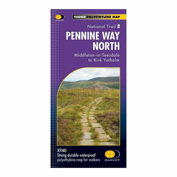
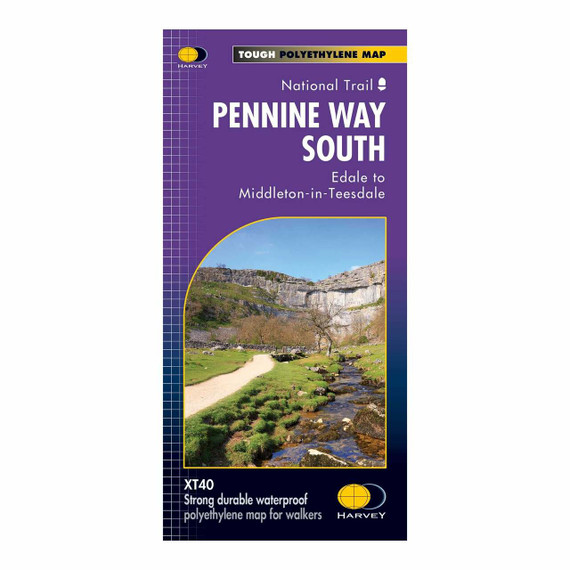
Guidebook to the Pennine Way National Trail with OS map booklet. The 270 mile route from Edale to Kirk Yetholm takes three weeks to walk and is suitable for fit and experienced long distance walkers. The route crosses the Peak District, Yorkshire Dales and North Pennines National Parks. Includes separate OS 1:25,000 map booklet of the route.
Cicerone says:
The Pennine Way is Britain's oldest, toughest long-distance footpath – and arguably its most iconic. Now a National Trail, the 427km (265½ mile) route from Edale in Derbyshire to Kirk Yetholm in the Scottish Borders offers wayfarers the opportunity to immerse themselves in wild beauty of the North. The Pennines boast rolling hills, sweeping moorland and wide glacial valleys, and the Pennine Way has come to embody personal challenge and adventure.
This guidebook presents the route in 20 daily stages of 10.5-31.5km (6½-19½ miles). Step-by-step route description is accompanied by 1:100,000 mapping and information about points of interest along the way, as well as advice on facilities and planning your trip, tips for walking the route and an alternative 15-day itinerary. Useful contacts and full accommodation listings can be found in the appendices. In addition, the guide includes a pocket-sized map booklet containing all the OS 1:25,000 mapping needed to complete the trail, saving the need to carry numerous map sheets.
The Pennine Way crosses three National Parks – the Peak District, Yorkshire Dales and Northumberland National Park – and other highlights include Cross Fell, the highest point in England outside of the Lake District; the Cheviot Hills; Kinder Scout; the limestone cliffs of Malham Cove; the North Pennines Area of Outstanding Natural Beauty and the awe-inspiring UNESCO World Heritage Site of Hadrian's Wall. Overnight options range from camping to a mixture of hostels and B&Bs and there is great camaraderie amongst wayfarers. With a wealth of information to help you get the most from your trip, Paddy Dillon's guide is an ideal companion to discovering this classic trail.
Our Verdict
For nearly 50 years Cicerone have been producing guidebooks on recognised treks, regions, areas and general tips for hikers.
We have used them countless times and they've always provided excellent insight and knowledge that you only get through experience, giving you the edge to make your trip a success and more enjoyable too.
If you're a gram counter you can easily remove sections of the book to take with you making your own ultra-lightweight guidebook with only the essential sections that you require.
- Reviewed by Ultralight Outdoor Gear
Features
- Seasons: This National Trail is essentially a summer walk, though it can be completed in spring or autumn, the winter months are solely for dedicated and experienced long-distance walkers
- Centres: Edale, Crowden, Hebden Bridge, Cowling, Gargrave, Malham, Horton in Ribblesdale, Hawes, Keld, Bowes, Middleton-in-Teesdale, Dufton, Alston, Hadrian's Wall, Bellingham, Byrness, Kirk Yetholm
- Difficulty: The Pennine Way is a challenging walk, often across high, exposed moorlands. No problems on fine, sunny days, but some parts can be exceptionally difficult in bad weather. In mist, careful navigation is required, but on the whole the route is well-signposted. Suitable for backpackers and youth hostellers, but ample B&B accommodation is also available. Previous long-distance walking experience is an advantage
- Must See: Peak District National Park - Kinder Scout, Bleaklow and Black Hill; South Pennines - Stoodley Pike and Brontë Country; Yorkshire Dales National Park - Malham Cove, Pen-y-Ghent and Great Shunner Fell; North Pennines AONB - Teesdale, High Cup and Cross Fell; Northumberland National Park - Hadrian's Wall and the Cheviot Hills
Specifications
- Edition: Fourth
- Number of pages: 240
- Size: 17.2 x 11.6 x 1.4cm
- Weighs 450g
Contents
- Introduction
- Wanted: A Long Green Trail
- Planning your trip
- Choosing an itinerary
- When to walk
- Travel to and from the Pennine Way
- Travel along the Pennine Way
- First and last nights
- Accommodation
- Food and drink
- Baggage transfer
- What to take
- Money
- Planning day to day
- Using this guide
- Additional mapping
- Waymarking and access
- Weather forecasts
- Phones and Wi-Fi
- Emergencies
- All about the Pennines
- Pennine geology
- Pennine scenery
- The Helm Wind
- Wildlife
- Plant life
- The Pennine Way
- Day 1 Edale to Torside
- Day 2 Torside to Standedge
- Day 3 Standedge to Callis Bridge or Hebden Bridge
- Day 4 Callis Bridge or Hebden Bridge to Ickornshaw
- Day 5 Ickornshaw to Gargrave
- Day 6 Gargrave to Malham
- Day 7 Malham to Horton in Ribblesdale
- Day 8 Horton in Ribblesdale to Hawes
- Day 9 Hawes to Keld
- Day 10 Keld to Baldersdale or Bowes
- Day 11 Baldersdale or Bowes to Middleton-in-Teesdale
- Day 12 Middleton-in-Teesdale to Langdon Beck
- Day 13 Langdon Beck to Dufton
- Day 14 Dufton to Alston
- Day 15 Alston to Greenhead
- Day 16 Greenhead to Housesteads
- Day 17 Housesteads to Bellingham
- Day 18 Bellingham to Byrness
- Day 19 Byrness to Clennell Street
- Day 20 Clennell Street to Kirk Yetholm
- Appendix A Useful contacts
- Appendix B Accommodation list
- Appendix C Further reading


